UN/LOCODE hub · India
INPNK

Klppl-ICD/Panki

26.4667°, 80.2167°
1
Transport functions

Transport Functions

Multimodal
UN/LOCODE

Hub Profile

Region
UP
GeoNames

Location

Location of INPNK
Natural Earth 10m (public domain) · UP · INPNK · 26.47, 80.22GoogleOSMYandex

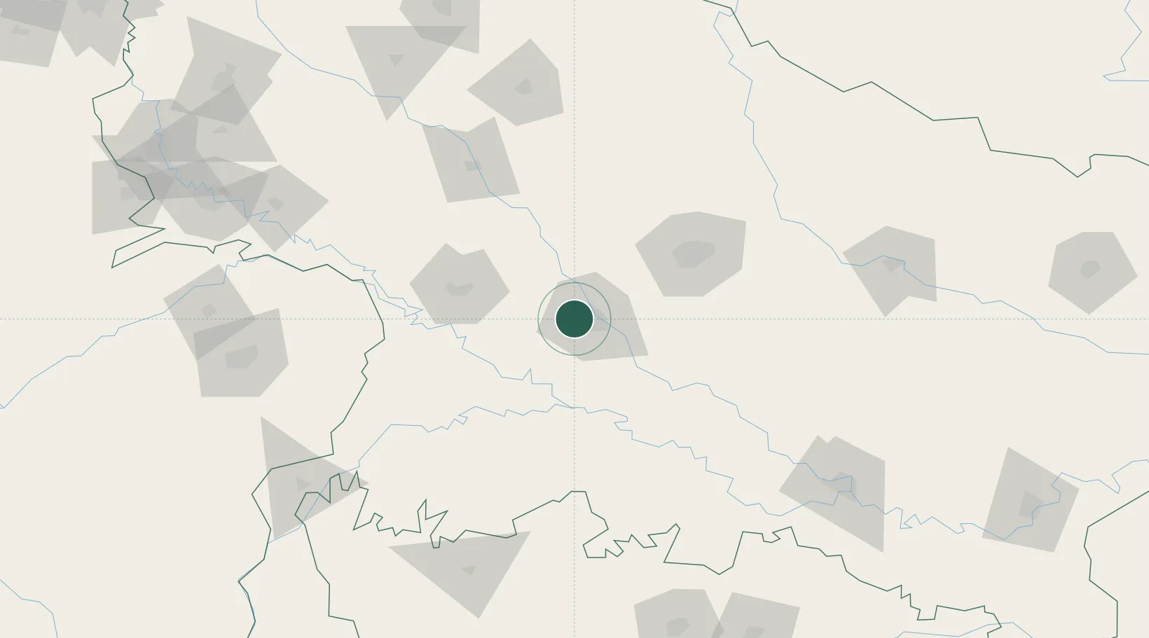
Nearby Logistics Neighbours

Cities
  1. 1Kanpur8 km
  2. 2HCL SEZ/Lucknow79 km
  3. 3Malanpur195 km
  4. 4Madhosingh/Allahabad199 km
  5. 5Kakarahawa Lcs205 km
Nearest neighbours — logibook spatial index (haversine) over the source coordinates
Ports
  1. 1Calcutta929 km
  2. 2Dhamra931 km
  3. 3Gopalpur933 km
  4. 4Haldia Port938 km
  5. 5Dahej943 km
Nearest neighbours — logibook spatial index (haversine) over the source coordinates
Airports
  1. 1Kanpur Airport21 km
  2. 2Chaudhary Charan Singh International Airport74 km
  3. 3Sultanpur Airport184 km
  4. 4Khajuraho Airport186 km
  5. 5Prayagraj Airport190 km
Nearest neighbours — logibook spatial index (haversine) over the source coordinates
Trade Zones
  1. 1UP Electronics Corporation Limited84 km
  2. 2Nepalgunj Special Economic Zone244 km
  3. 3Moradabad Special Economic Zone297 km
  4. 4Bhairahawa Special Economic Zone342 km
  5. 5Moser Baer SEZ, Greater Noida353 km
Nearest neighbours — logibook spatial index (haversine) over the source coordinates
DatabookThe Record of Consolidated Knowledge
India beyond logistics?
Browse databook

All Sources

LocationsUN/LOCODE
UN/LOCODE — free
Portsthe NGA World Port Index
Public domain (US gov)
AirportsOurAirports
Public domain
Trade Zonesthe World Bank SEZ database
CC BY 4.0
Trade ZonesOpen Zone Map
CC BY
← India locations