Transport Functions
Multimodal
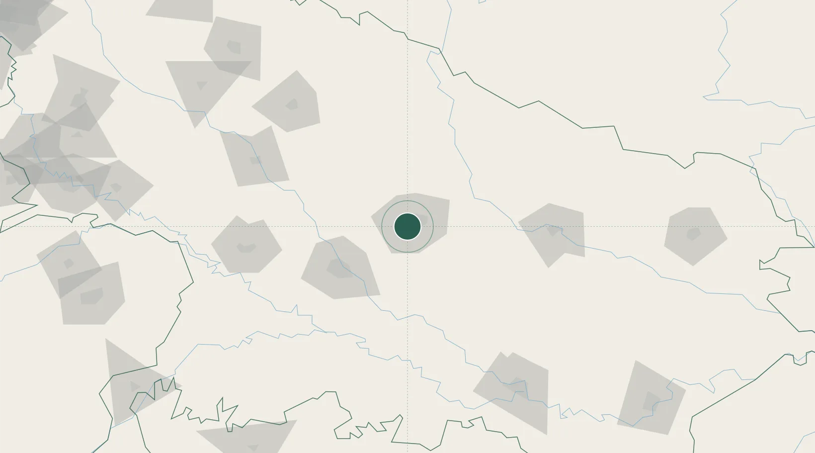
Hub Profile
Region
UP
Location
Nearby Logistics Neighbours
Cities
- 1Kanpur73 km
- 2Klppl-ICD/Panki79 km
- 3Madhosingh/Allahabad181 km
- 4Kakarahawa Lcs187 km
- 5Jaunpur216 km
Ports
- 1Calcutta889 km
- 2Haldia Port903 km
- 3Dhamra910 km
- 4Gopalpur935 km
- 5Paradip938 km
Airports
Trade Zones
DatabookThe Record of Consolidated Knowledge
India beyond logistics?