Medium airport · India

Khajuraho AirportVAKJ
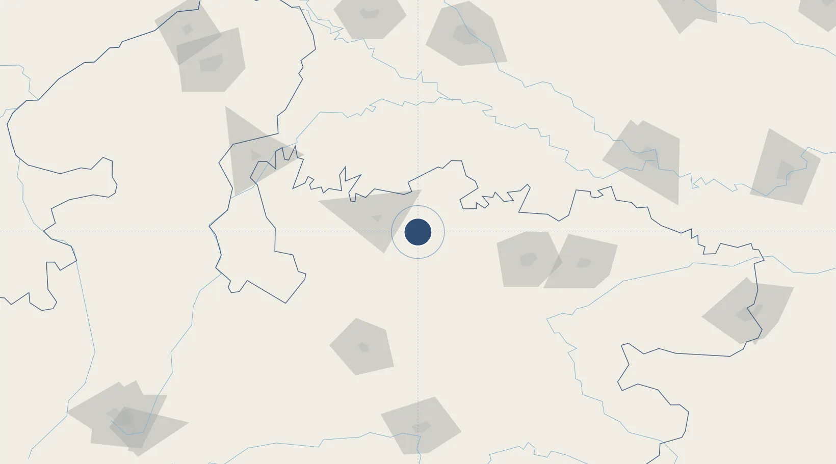
24.8172°, 79.9186°
7,460 ft
Longest runway
1
Runways
728 ft
Elevation

Runway & Layout

Khajuraho Airport runway & taxiway layout
Runway & taxiway layout — OpenStreetMap (ODbL) / OurAirports

Radio Frequencies

TWR
118.15 MHz
OurAirports

Runways · 1

RunwayDimensions SurfaceTrue headingLit
01/19 7,460 × 148ft Asphalt 013°
OurAirports

Airport Specifications

IATA code
HJR
OurAirports
ICAO code
VEKO
OurAirports
Airport class
Medium airport
OurAirports
Scheduled service
Yes
OurAirports
Runway surface
Asphalt
OurAirports
Served city
Khajuraho
OurAirports

Location

Location of VAKJ
Natural Earth 10m (public domain) · Madhya Pradesh · VAKJ · 24.82, 79.92GoogleOSMYandex

Nearby Logistics Neighbours

Airports
  1. 1Rewa Airport, Chorhata, REWA136 km
  2. 2Jabalpur Airport183 km
  3. 3Kanpur Airport183 km
  4. 4Prayagraj Airport195 km
  5. 5Gwalior Airport236 km
Nearest neighbours — logibook spatial index (haversine) over the source coordinates
Cities
  1. 1Klppl-ICD/Panki186 km
  2. 2Kanpur186 km
  3. 3Madhosingh/Allahabad207 km
  4. 4Kakarahawa Lcs208 km
  5. 5Gwalior235 km
Nearest neighbours — logibook spatial index (haversine) over the source coordinates
Ports
  1. 1Gopalpur804 km
  2. 2Dahej830 km
  3. 3Magdalla839 km
  4. 4Dhamra848 km
  5. 5Hazira854 km
Nearest neighbours — logibook spatial index (haversine) over the source coordinates
Trade Zones
  1. 1UP Electronics Corporation Limited248 km
  2. 2M s. Lanco Solar Private Limited416 km
  3. 3Nepalgunj Special Economic Zone419 km
  4. 4Mihan Special Economic Zone429 km
  5. 5Moradabad Special Economic Zone456 km
Nearest neighbours — logibook spatial index (haversine) over the source coordinates
DatabookThe Record of Consolidated Knowledge
India beyond logistics?
Browse databook

All Sources

AirportsOurAirports
Public domain
Portsthe NGA World Port Index
Public domain (US gov)
LocationsUN/LOCODE
UN/LOCODE — free
Trade Zonesthe World Bank SEZ database
CC BY 4.0
Trade ZonesOpen Zone Map
CC BY
InfrastructureOpenStreetMap
ODbL 1.0
← India airports