UN/LOCODE hub · India
INKNU

Kanpur

26.4558°, 80.2954°
2,823,249
Population
2
Transport functions

Transport Functions

Airport
Multimodal
UN/LOCODE

Hub Profile

Place type
Populated place
GeoNames
Region
Uttar Pradesh
GeoNames
Population
2,823,249
GeoNames
Time zone
Asia/Kolkata
GeoNames
Elevation
137 m
GeoNames
Logistics facilities
5
UN/LOCODE

Location

Location of INKNU
Natural Earth 10m (public domain) · Uttar Pradesh · INKNU · 26.46, 80.30GoogleOSMYandex

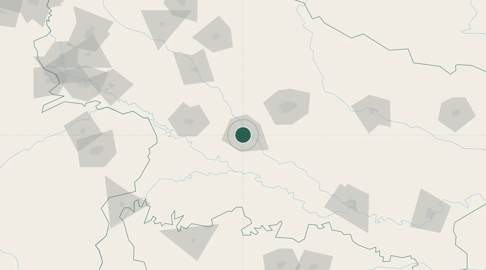
Nearby Logistics Neighbours

Cities
  1. 1Klppl-ICD/Panki8 km
  2. 2HCL SEZ/Lucknow73 km
  3. 3Madhosingh/Allahabad192 km
  4. 4Kakarahawa Lcs198 km
  5. 5Malanpur203 km
Nearest neighbours — logibook spatial index (haversine) over the source coordinates
Ports
  1. 1Calcutta922 km
  2. 2Dhamra924 km
  3. 3Gopalpur928 km
  4. 4Haldia Port931 km
  5. 5Paradip948 km
Nearest neighbours — logibook spatial index (haversine) over the source coordinates
Airports
  1. 1Kanpur Airport13 km
  2. 2Chaudhary Charan Singh International Airport68 km
  3. 3Sultanpur Airport176 km
  4. 4Prayagraj Airport183 km
  5. 5Khajuraho Airport186 km
Nearest neighbours — logibook spatial index (haversine) over the source coordinates
Trade Zones
  1. 1UP Electronics Corporation Limited78 km
  2. 2Nepalgunj Special Economic Zone241 km
  3. 3Moradabad Special Economic Zone302 km
  4. 4Bhairahawa Special Economic Zone335 km
  5. 5Moser Baer SEZ, Greater Noida360 km
Nearest neighbours — logibook spatial index (haversine) over the source coordinates
DatabookThe Record of Consolidated Knowledge
India beyond logistics?
Browse databook

All Sources

LocationsUN/LOCODE
UN/LOCODE — free
LocationsGeoNames
CC BY 4.0
Portsthe NGA World Port Index
Public domain (US gov)
AirportsOurAirports
Public domain
Trade Zonesthe World Bank SEZ database
CC BY 4.0
Trade ZonesOpen Zone Map
CC BY
← India locations