Medium airport · India
Kanpur AirportVICX
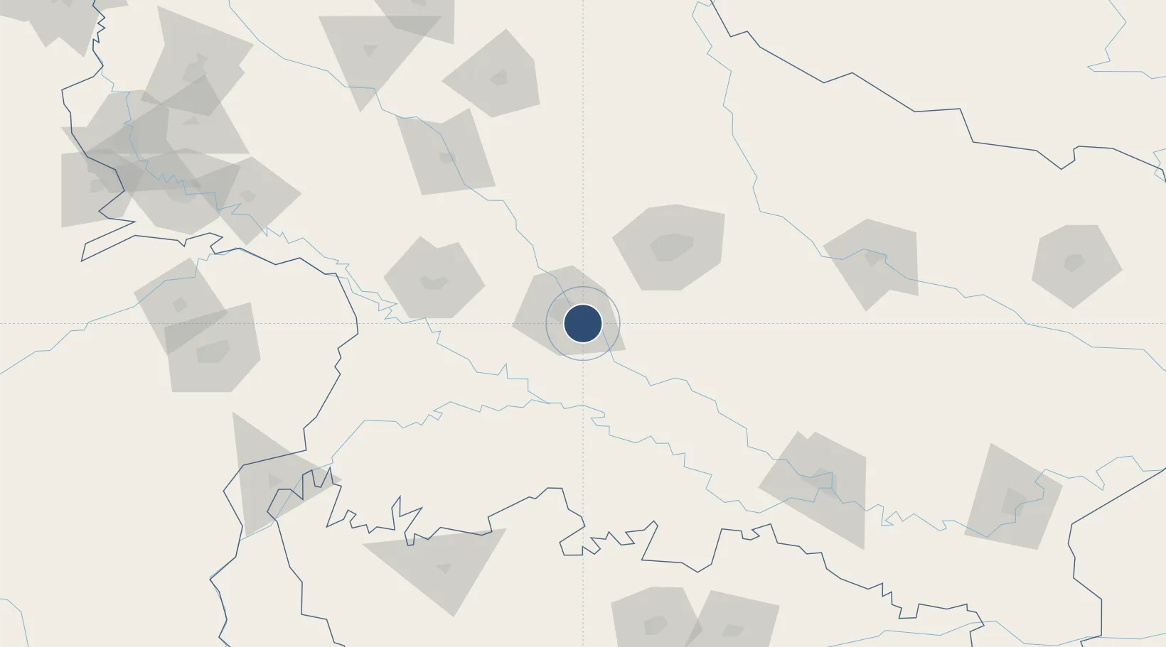
26.4043°, 80.4101°
9,000 ft
Longest runway
1
Runways
410 ft
Elevation
Runway & Layout

Radio Frequencies
TWR
123.5 MHz
APP
122.7 MHz
Runways · 1
| Runway | Dimensions | Surface | True heading | Lit |
|---|---|---|---|---|
| 09/27 | 9,000 × 150ft | Concrete | 089° | ✓ |
Airport Specifications
IATA code
KNU
ICAO code
VEKA
Airport class
Medium airport
Scheduled service
Yes
Runway surface
Concrete
Served city
Kanpur
Location
Nearby Logistics Neighbours
Airports
- 1Chaudhary Charan Singh International Airport62 km
- 2Sultanpur Airport164 km
- 3Prayagraj Airport170 km
- 4Maharshi Valmiki International Airport179 km
- 5Khajuraho Airport183 km
Cities
- 1Kanpur13 km
- 2Klppl-ICD/Panki21 km
- 3HCL SEZ/Lucknow68 km
- 4Madhosingh/Allahabad179 km
- 5Kakarahawa Lcs185 km
Ports
- 1Calcutta909 km
- 2Dhamra912 km
- 3Gopalpur917 km
- 4Haldia Port918 km
- 5Paradip936 km
Trade Zones
DatabookThe Record of Consolidated Knowledge
India beyond logistics?