Transport Functions
Road
Multimodal
Hub Profile
Place type
Populated place
Region
Madhya Pradesh
Population
7,492
Time zone
Asia/Kolkata
Elevation
179 m
Logistics facilities
1
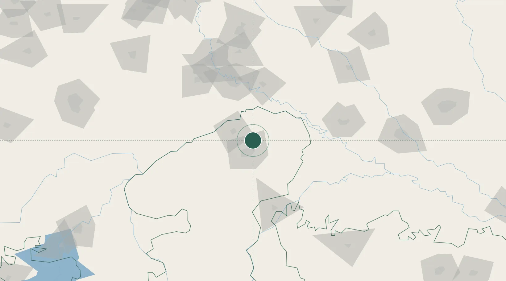
Location
Nearby Logistics Neighbours
Cities
- 1Gwalior21 km
- 2Agra92 km
- 3Hindaun ICD/Karauli125 km
- 4Bargawan146 km
- 5Klppl-ICD/Panki195 km
Airports
- 1Gwalior Airport11 km
- 2Agra Airport / Agra Air Force Station91 km
- 3Aligarh Airport164 km
- 4Noida International Airport209 km
- 5Kanpur Airport214 km
Trade Zones
DatabookThe Record of Consolidated Knowledge
India beyond logistics?