Runway & Layout

Airport Specifications
Airport class
Small airport
Scheduled service
Yes
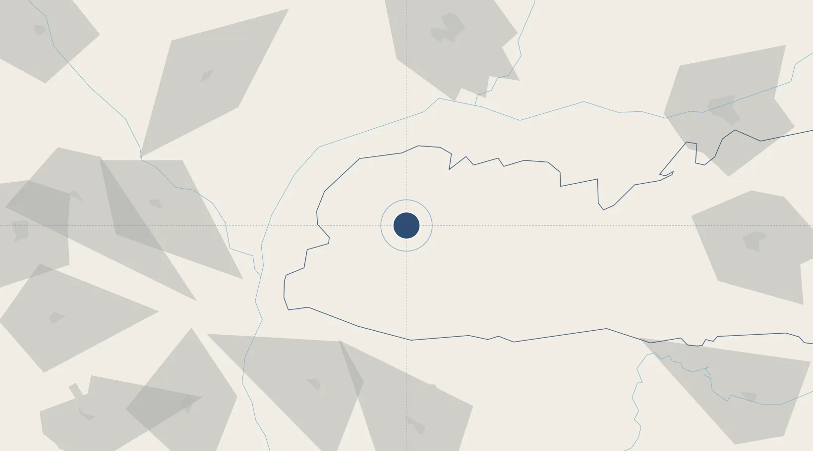
Location
Nearby Logistics Neighbours
Airports
- 1Lokpriya Gopinath Bordoloi International Airport134 km
- 2Gelephu Airport137 km
- 3Saidpur Airport144 km
- 4Hashimara Air Force Station151 km
- 5Shillong Airport164 km
Cities
- 1Kushtia52 km
- 2Kamardwisa Lcs85 km
- 3Lhamoizingkha126 km
- 4Sarpang132 km
- 5Gelephu133 km
Ports
- 1Mongla363 km
- 2Chittagong401 km
- 3Calcutta402 km
- 4Haldia Port466 km
- 5Dhamra640 km
Trade Zones
DatabookThe Record of Consolidated Knowledge
India beyond logistics?