UN/LOCODE hub · India
INSAJ

NAVKAR ICD/Umbergaon

20.6167°, 72.9167°
1
Transport functions

Transport Functions

Multimodal
UN/LOCODE

Hub Profile

Region
GJ
GeoNames

Location

Location of INSAJ
Natural Earth 10m (public domain) · GJ · INSAJ · 20.62, 72.92GoogleOSMYandex

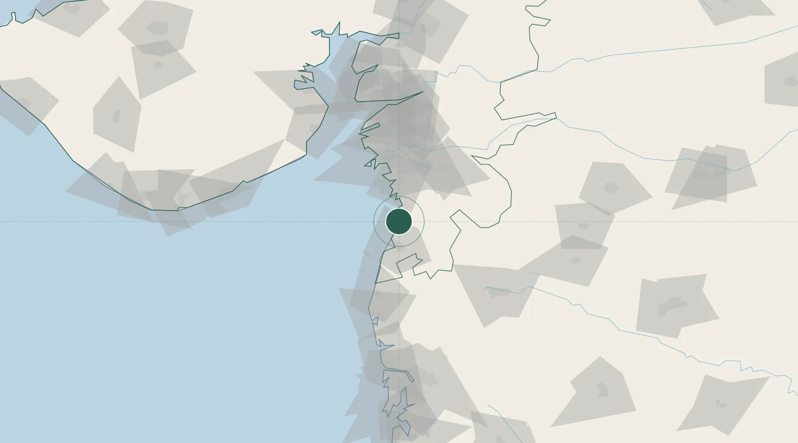
Nearby Logistics Neighbours

Cities
  1. 1Vapi28 km
  2. 2Sachin (Surat)52 km
  3. 3Gandhar60 km
  4. 4SHB ICD/Surat60 km
  5. 5Sap-SEZ/Surat62 km
Nearest neighbours — logibook spatial index (haversine) over the source coordinates
Ports
  1. 1Hazira60 km
  2. 2Magdalla62 km
  3. 3Dahej127 km
  4. 4Bhavnagar146 km
  5. 5Pipavav Bandar149 km
Nearest neighbours — logibook spatial index (haversine) over the source coordinates
Airports
  1. 1Daman Airport22 km
  2. 2Surat International Airport58 km
  3. 3Nashik International Airport118 km
  4. 4Bhavnagar Airport147 km
  5. 5Chhatrapati Shivaji Maharaj International Airport170 km
Nearest neighbours — logibook spatial index (haversine) over the source coordinates
Trade Zones
  1. 1Surat Apparel Park52 km
  2. 2Surat Special Economic Zone52 km
  3. 3Gujarat Hira Bourse66 km
  4. 4HBS Pharma SEZ Private Limited, Bharuch102 km
  5. 5Dahej SEZ Ltd.127 km
Nearest neighbours — logibook spatial index (haversine) over the source coordinates
DatabookThe Record of Consolidated Knowledge
India beyond logistics?
Browse databook

All Sources

LocationsUN/LOCODE
UN/LOCODE — free
Portsthe NGA World Port Index
Public domain (US gov)
AirportsOurAirports
Public domain
Trade Zonesthe World Bank SEZ database
CC BY 4.0
Trade ZonesOpen Zone Map
CC BY
← India locations