Channel & Berth Profile
Pilotage, Tugs & Services
Pilotage compulsoryYES
Pilotage availableYES
Tug assistanceYES
Potable waterYES
MedicalYES
Facilities & Capabilities
Container—
Ro-Ro—
Liquid bulk—
Dry bulk—
Oil terminal—
Break bulk—
Dry dockNO
RepairsNO
BunkeringYES
Rail linkYES
Dangerous cargo—
ISPS security—
Harbour Specifications
Harbour size
Very Small
Harbour type
Coastal (Breakwater)
Shelter
Fair
Water body
Arabian Sea; Indian Ocean
Tidal range
2 m
Overhead limit
No
Pilotage
Yes
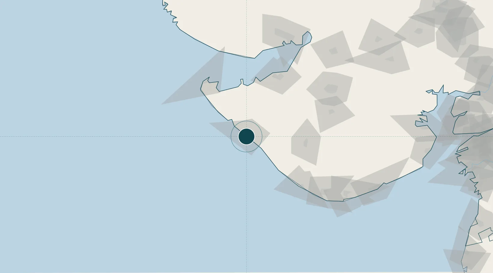
Location
Nearby Logistics Neighbours
Ports
- 1Sikka92 km
- 2Vadinar Terminal93 km
- 3Okha107 km
- 4Veraval114 km
- 5Bedi114 km
Cities
- 1Jodhpur53 km
- 2Junagadh91 km
- 3Sika92 km
- 4Positra96 km
- 5Reliance SEZ/Jamnagar104 km
Airports
- 1Porbandar Airport6 km
- 2Keshod Airport78 km
- 3Jamnagar Airport102 km
- 4Rajkot Airport143 km
- 5Rajkot International Airport170 km
Trade Zones
DatabookThe Record of Consolidated Knowledge
India beyond logistics?