Runway & Layout

Radio Frequencies
Tower
122.25 MHz
Jakkur Tower
Runways · 1
| Runway | Dimensions | Surface | True heading | Lit |
|---|---|---|---|---|
| 08/26 | — | — | — | — |
Airport Specifications
ICAO code
VOJK
Airport class
Medium airport
Scheduled service
No
Served city
Bengaluru
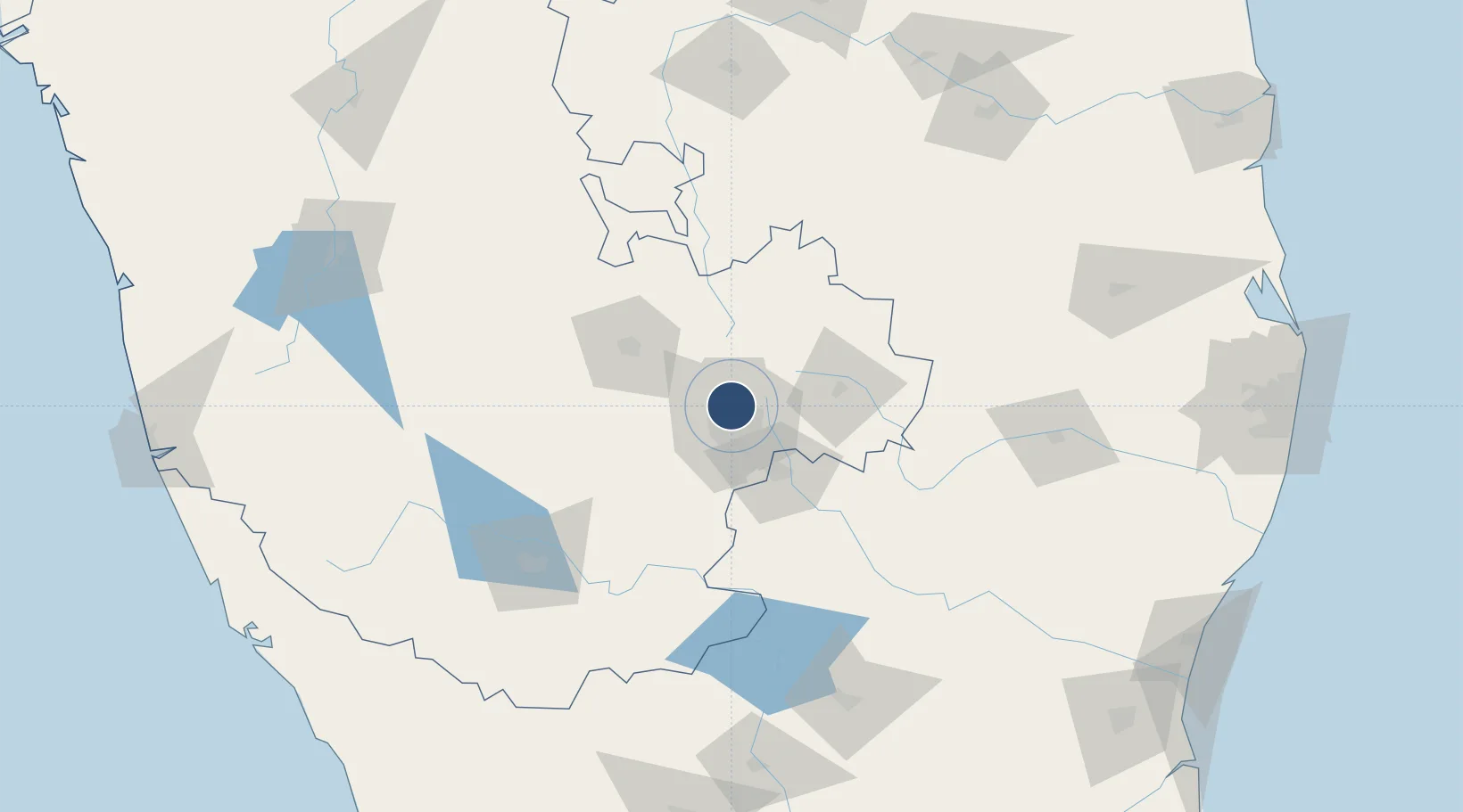
Location
Nearby Logistics Neighbours
Airports
- 1HAL Airport16 km
- 2Kempegowda International Airport Bengaluru18 km
- 3Sri Sathya Sai Airport121 km
- 4Mysore Airport139 km
- 5Salem Airport153 km
Cities
Ports
- 1Pondicherry274 km
- 2Azhikal (Azhikkal)278 km
- 3Cuddalore280 km
- 4Calicut (Kozhikode)284 km
- 5Beypore289 km
Trade Zones
DatabookThe Record of Consolidated Knowledge
India beyond logistics?