Medium airport · India
HAL AirportVOBG
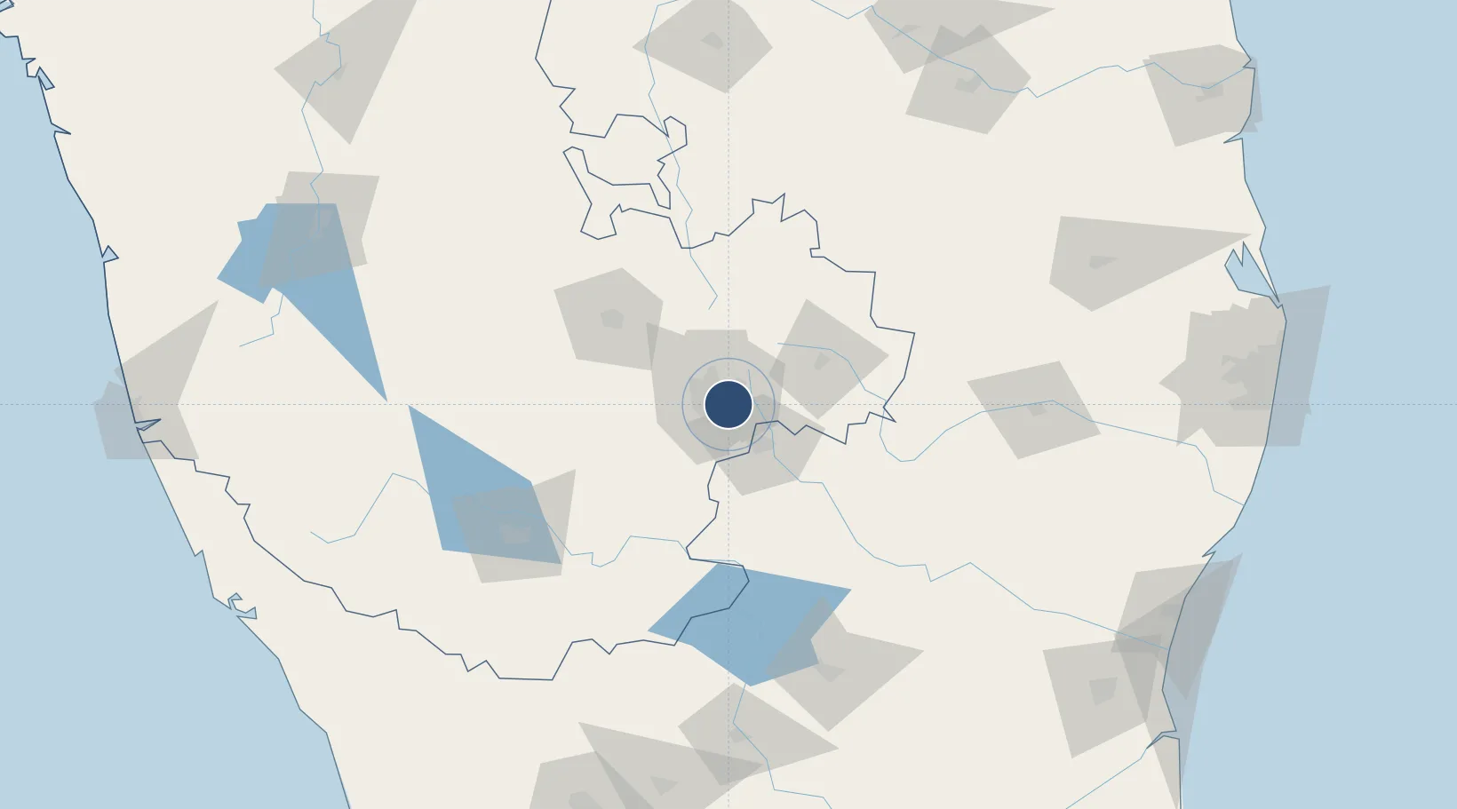
12.9500°, 77.6682°
10,850 ft
Longest runway
1
Runways
2,912 ft
Elevation
Runway & Layout

Radio Frequencies
ATIS
128.25 MHz
TWR
123.5 MHz
APP
127.7 MHz
Navaids
BBG VOR-DME Bangalore 115.50 MHz
BG NDB Bangalore 363 kHz
Runways · 1
| Runway | Dimensions | Surface | True heading | Lit |
|---|---|---|---|---|
| 09/27 | 10,850 × 200ft | Asphalt | 085° | ✓ |
Airport Specifications
ICAO code
VOBG
Airport class
Medium airport
Scheduled service
No
Runway surface
Asphalt
Served city
Bangalore
Location
Nearby Logistics Neighbours
Airports
- 1Jakkur Aerodrome16 km
- 2Kempegowda International Airport Bengaluru28 km
- 3Sri Sathya Sai Airport134 km
- 4Mysore Airport136 km
- 5Salem Airport137 km
Cities
- 1Itpl Sezii/Whitefield9 km
- 2Apllp Sez/Bangalore9 km
- 3Kbits-SEZ/Bangalore10 km
- 4GOCL SEZ/Bangalore10 km
- 5Biocon-SEZ/Bangalore10 km
Ports
- 1Pondicherry261 km
- 2Cuddalore266 km
- 3Azhikal (Azhikkal)279 km
- 4Calicut (Kozhikode)280 km
- 5Beypore284 km
DatabookThe Record of Consolidated Knowledge
India beyond logistics?