UN/LOCODE hub · India
INKJR

Bbrel Sez/Kundalahalli

13.0500°, 77.6833°
1
Transport functions

Transport Functions

Multimodal
UN/LOCODE

Hub Profile

Region
KA
GeoNames

Location

Location of INKJR
Natural Earth 10m (public domain) · KA · INKJR · 13.05, 77.68GoogleOSMYandex

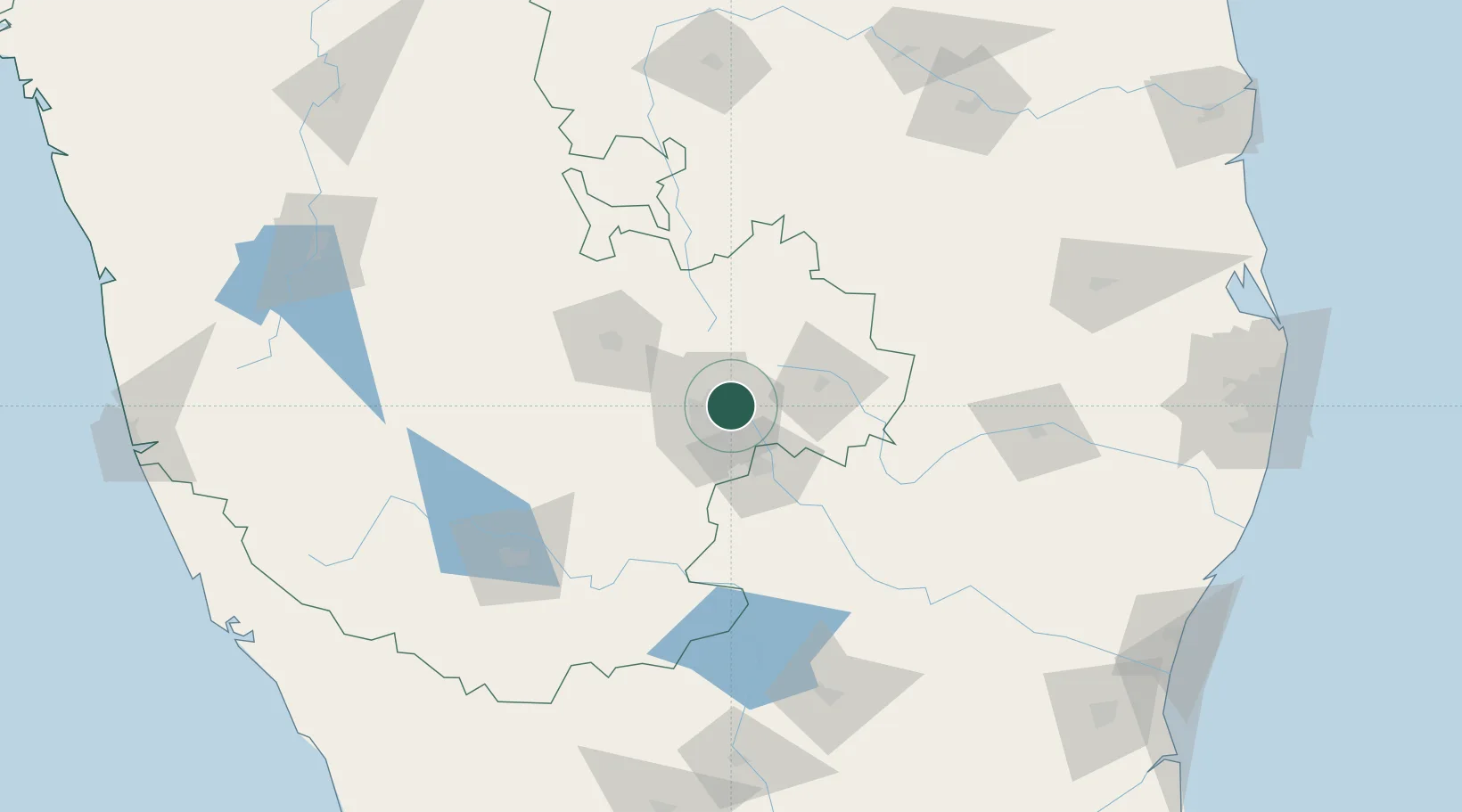
Nearby Logistics Neighbours

Cities
  1. 1Bangalore9 km
  2. 2Modern Asset Sezi/Yelahanka Hobli9 km
  3. 3Modern Asset Sezii/Yelahanka Hobli11 km
  4. 4Itpl Sezii/Whitefield12 km
  5. 5Kbits-SEZ/Bangalore13 km
Nearest neighbours — logibook spatial index (haversine) over the source coordinates
Ports
  1. 1Pondicherry264 km
  2. 2Cuddalore271 km
  3. 3Chennai (Madras)284 km
  4. 4Azhikal (Azhikkal)286 km
  5. 5Kamarajar Port289 km
Nearest neighbours — logibook spatial index (haversine) over the source coordinates
Airports
  1. 1Jakkur Aerodrome10 km
  2. 2HAL Airport11 km
  3. 3Kempegowda International Airport Bengaluru17 km
  4. 4Sri Sathya Sai Airport123 km
  5. 5Mysore Airport144 km
Nearest neighbours — logibook spatial index (haversine) over the source coordinates
Trade Zones
  1. 1Manyata Embassy Business Park SEZ7 km
  2. 2Larsen And Toubro SEZ7 km
  3. 3Bagmane SEZ8 km
  4. 4Karle Infra Pojects8 km
  5. 5Ittina Properties Pvt. Ltd.8 km
Nearest neighbours — logibook spatial index (haversine) over the source coordinates
DatabookThe Record of Consolidated Knowledge
India beyond logistics?
Browse databook

All Sources

LocationsUN/LOCODE
UN/LOCODE — free
Portsthe NGA World Port Index
Public domain (US gov)
AirportsOurAirports
Public domain
Trade Zonesthe World Bank SEZ database
CC BY 4.0
Trade ZonesOpen Zone Map
CC BY
← India locations