Transport Functions
Multimodal
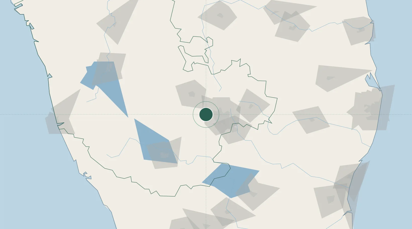
Hub Profile
Region
KA
Location
Nearby Logistics Neighbours
Cities
- 1Landt Cel Sezii/Bangalore North3 km
- 2Magadi14 km
- 3Kbits-SEZ/Bangalore26 km
- 4GOCL SEZ/Bangalore26 km
- 5Biocon-SEZ/Bangalore26 km
Ports
- 1Azhikal (Azhikkal)252 km
- 2Calicut (Kozhikode)261 km
- 3Beypore266 km
- 4New Mangalore275 km
- 5Pondicherry295 km
Airports
- 1Jakkur Aerodrome28 km
- 2HAL Airport35 km
- 3Kempegowda International Airport Bengaluru44 km
- 4Mysore Airport116 km
- 5Sri Sathya Sai Airport135 km
DatabookThe Record of Consolidated Knowledge
India beyond logistics?