UN/LOCODE hub · India
INYMA

Modern Asset Sezii/Yelahanka Hobli

13.1000°, 77.6000°
1
Transport functions

Transport Functions

Multimodal
UN/LOCODE

Hub Profile

Region
KA
GeoNames

Location

Location of INYMA
Natural Earth 10m (public domain) · KA · INYMA · 13.10, 77.60GoogleOSMYandex

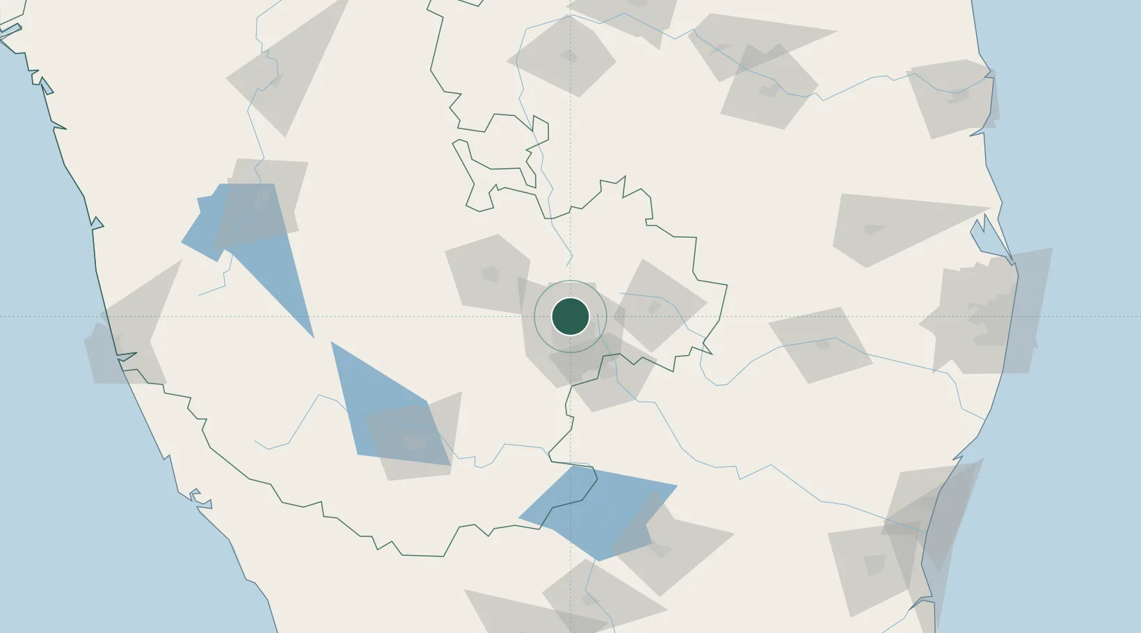
Nearby Logistics Neighbours

Cities
  1. 1Modern Asset Sezi/Yelahanka Hobli2 km
  2. 2Bbrel Sez/Kundalahalli11 km
  3. 3Kbits-SEZ/Bangalore13 km
  4. 4GOCL SEZ/Bangalore13 km
  5. 5Biocon-SEZ/Bangalore13 km
Nearest neighbours — logibook spatial index (haversine) over the source coordinates
Ports
  1. 1Pondicherry275 km
  2. 2Azhikal (Azhikkal)280 km
  3. 3Cuddalore281 km
  4. 4Calicut (Kozhikode)286 km
  5. 5Beypore291 km
Nearest neighbours — logibook spatial index (haversine) over the source coordinates
Airports
  1. 1Jakkur Aerodrome3 km
  2. 2Kempegowda International Airport Bengaluru16 km
  3. 3HAL Airport18 km
  4. 4Sri Sathya Sai Airport119 km
  5. 5Mysore Airport141 km
Nearest neighbours — logibook spatial index (haversine) over the source coordinates
Trade Zones
  1. 1Larsen And Toubro SEZ6 km
  2. 2Manyata Embassy Business Park SEZ6 km
  3. 3Karle Projects6 km
  4. 4Karle Infra Pojects6 km
  5. 5M s. Gulf Oil Corporation Limited10 km
Nearest neighbours — logibook spatial index (haversine) over the source coordinates
DatabookThe Record of Consolidated Knowledge
India beyond logistics?
Browse databook

All Sources

LocationsUN/LOCODE
UN/LOCODE — free
Portsthe NGA World Port Index
Public domain (US gov)
AirportsOurAirports
Public domain
Trade Zonesthe World Bank SEZ database
CC BY 4.0
Trade ZonesOpen Zone Map
CC BY
← India locations