Medium airport · India

Ambala Air Force StationVIAM
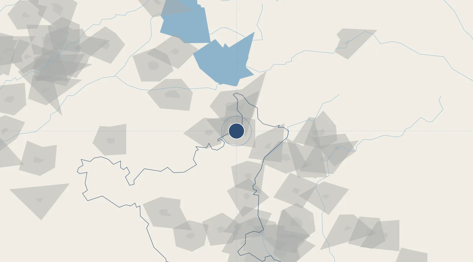
30.3681°, 76.8167°
9,224 ft
Longest runway
1
Runways
909 ft
Elevation

Runway & Layout

Ambala Air Force Station runway & taxiway layout
Runway & taxiway layout — OpenStreetMap (ODbL) / OurAirports

Runways · 1

RunwayDimensions SurfaceTrue headingLit
12L/30R 9,224 × 150ft Asphalt 122°
OurAirports

Airport Specifications

ICAO code
VIAM
OurAirports
Airport class
Medium airport
OurAirports
Scheduled service
No
OurAirports
Runway surface
Asphalt
OurAirports
Served city
Ambala
OurAirports

Location

Location of VIAM
Natural Earth 10m (public domain) · Haryana · VIAM · 30.37, 76.82GoogleOSMYandex

Nearby Logistics Neighbours

Airports
  1. 1Shaheed Bhagat Singh International Airport34 km
  2. 2Ludhiana Airport99 km
  3. 3Halwara International Airport121 km
  4. 4Dehradun Jolly Grant Airport132 km
  5. 5Adampur Airport156 km
Nearest neighbours — logibook spatial index (haversine) over the source coordinates
Cities
  1. 1Lalru13 km
  2. 2Dappar17 km
  3. 3Kala Amb40 km
  4. 4DCA-II SEZ/Chandigarh41 km
  5. 5DCA-I SEZ/Chandigarh41 km
Nearest neighbours — logibook spatial index (haversine) over the source coordinates
Ports
  1. 1Navlakhi1039 km
  2. 2Kandla1046 km
  3. 3Dahej1054 km
  4. 4Bhavnagar1060 km
  5. 5Bedi1097 km
Nearest neighbours — logibook spatial index (haversine) over the source coordinates
DatabookThe Record of Consolidated Knowledge
India beyond logistics?
Browse databook

All Sources

AirportsOurAirports
Public domain
Portsthe NGA World Port Index
Public domain (US gov)
LocationsUN/LOCODE
UN/LOCODE — free
Trade Zonesthe World Bank SEZ database
CC BY 4.0
Trade ZonesOpen Zone Map
CC BY
InfrastructureOpenStreetMap
ODbL 1.0
← India airports