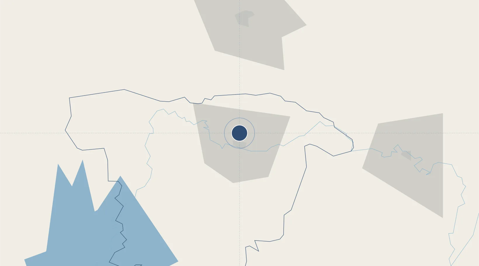
Large airport · Bangladesh

Osmany International AirportVGSY

24.9631°, 91.8669°
9,478 ft
Longest runway
1
Runways
50 ft
Elevation

Runway & Layout

Osmany International Airport runway & taxiway layout
Runway & taxiway layout — OpenStreetMap (ODbL) / OurAirports

Radio Frequencies

TWR
122.9 MHz
SYLHET TWR
OurAirports

Navaids

SY NDB Sylhet 372 kHz
SYT VOR Sylhet 116.40 MHz
OurAirports

Runways · 1

RunwayDimensions SurfaceTrue headingLit
11/29 9,478 × 150ft Asphalt 113°
OurAirports

Airport Specifications

IATA code
ZYL
OurAirports
ICAO code
VGSY
OurAirports
Airport class
Large airport
OurAirports
Scheduled service
Yes
OurAirports
Runway surface
Asphalt
OurAirports
Served city
Sylhet
OurAirports

Location

Location of VGSY
Natural Earth 10m (public domain) · Sylhet · VGSY · 24.96, 91.87GoogleOSMYandex

Nearby Logistics Neighbours

Airports
  1. 1Kailashahar Airport74 km
  2. 2Shillong Airport83 km
  3. 3Silchar Airport112 km
  4. 4Lokpriya Gopinath Bordoloi International Airport130 km
  5. 5Agartala - Maharaja Bir Bikram Airport135 km
Nearest neighbours — logibook spatial index (haversine) over the source coordinates
Cities
  1. 1Moulvi Bazar54 km
  2. 2Ashuganj135 km
  3. 3Amingaon (Gauhati)137 km
  4. 4Narsingdi165 km
  5. 5Kamardwisa Lcs186 km
Nearest neighbours — logibook spatial index (haversine) over the source coordinates
Ports
  1. 1Chittagong294 km
  2. 2Mongla361 km
  3. 3Calcutta449 km
  4. 4Haldia Port506 km
  5. 5Sittwe547 km
Nearest neighbours — logibook spatial index (haversine) over the source coordinates
Trade Zones
  1. 1Sylhet Special Economic Zone10 km
  2. 2Shreehatta Srihatta Economic Zone43 km
  3. 3Habiganj Economic Zone80 km
  4. 4Netrakona Economic Zone - 1116 km
  5. 5Kishoreganj Economic Zone (Nitol Motors Ltd.)132 km
Nearest neighbours — logibook spatial index (haversine) over the source coordinates
DatabookThe Record of Consolidated Knowledge
Bangladesh beyond logistics?
Browse databook

All Sources

AirportsOurAirports
Public domain
Portsthe NGA World Port Index
Public domain (US gov)
LocationsUN/LOCODE
UN/LOCODE — free
Trade Zonesthe World Bank SEZ database
CC BY 4.0
Trade ZonesOpen Zone Map
CC BY
InfrastructureOpenStreetMap
ODbL 1.0
← Bangladesh airports