Transport Functions
Road
Multimodal
Hub Profile
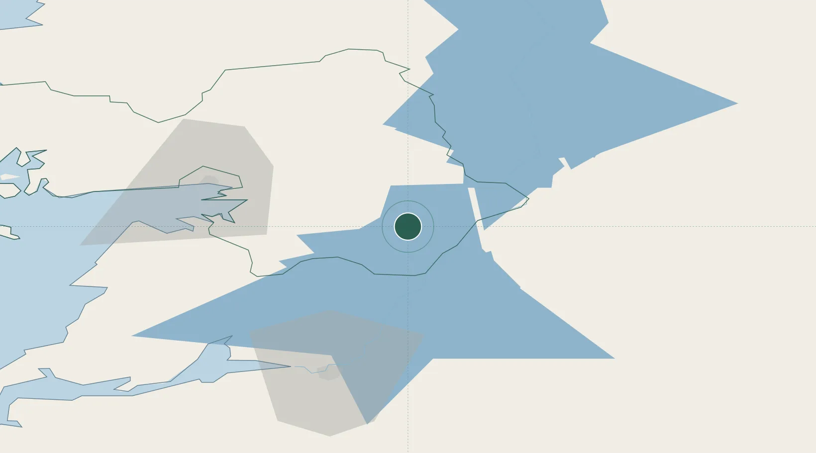
Place type
Populated place
Region
Connacht
Population
447
Time zone
Europe/Dublin
Elevation
74 m
Location
Nearby Logistics Neighbours
Cities
- 1Gort30 km
- 2Nenagh32 km
- 3Ballina37 km
- 4Clarecastle53 km
- 5Ballymurray53 km
Airports
- 1Shannon Airport61 km
- 2Connemara Regional Airport74 km
- 3Inisheer Aerodrome77 km
- 4Inishmaan Aerodrome80 km
- 5Inishmore Aerodrome86 km
Trade Zones
DatabookThe Record of Consolidated Knowledge
Ireland beyond logistics?