Transport Functions
Rail
Road
Hub Profile
Place type
Regional capital
Region
Munster
Population
5,500
Time zone
Europe/Dublin
Elevation
71 m
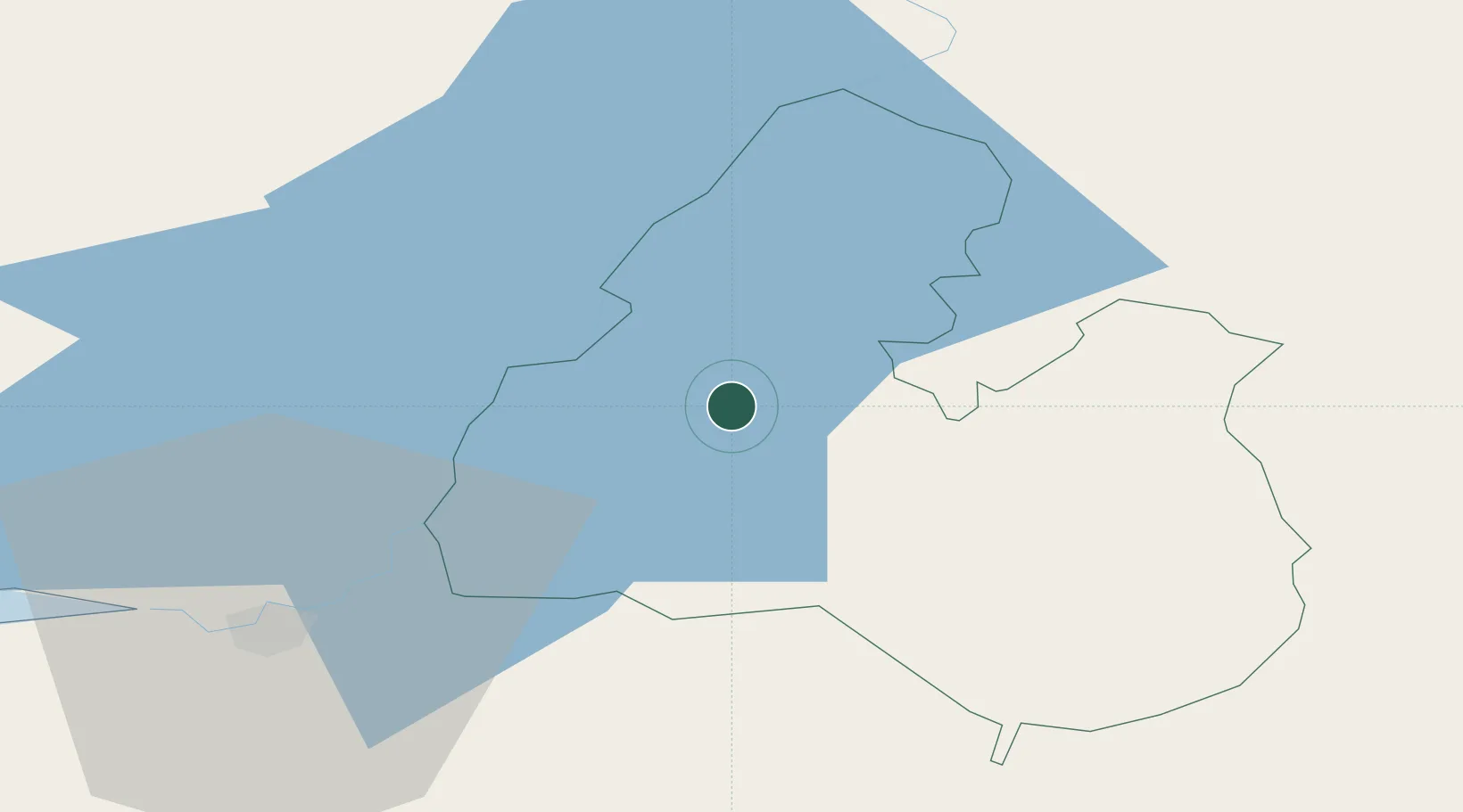
Location
Nearby Logistics Neighbours
Cities
- 1Ballina18 km
- 2Murroe28 km
- 3Tynagh32 km
- 4Gort46 km
- 5Castletown48 km
Airports
- 1Shannon Airport53 km
- 2Inisheer Aerodrome92 km
- 3Connemara Regional Airport95 km
- 4Inishmaan Aerodrome96 km
- 5Inishmore Aerodrome102 km
Trade Zones
DatabookThe Record of Consolidated Knowledge
Ireland beyond logistics?