Transport Functions
Rail
Road
Hub Profile
Place type
Populated place
Region
Connacht
Population
2,994
Time zone
Europe/Dublin
Elevation
23 m
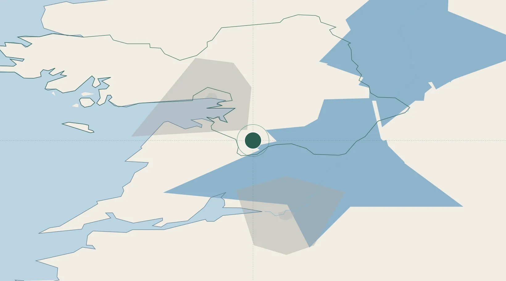
Location
Nearby Logistics Neighbours
Cities
- 1Clarecastle28 km
- 2Tynagh30 km
- 3Ennistymon35 km
- 4Ballina37 km
- 5Shannon39 km
Airports
- 1Shannon Airport40 km
- 2Inisheer Aerodrome48 km
- 3Connemara Regional Airport49 km
- 4Inishmaan Aerodrome52 km
- 5Inishmore Aerodrome57 km
Trade Zones
DatabookThe Record of Consolidated Knowledge
Ireland beyond logistics?