Transport Functions
Rail
Road
Hub Profile
Place type
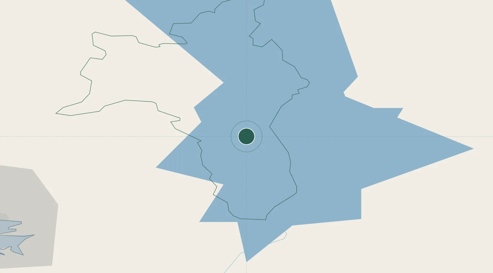
Locality
Region
Connacht
Time zone
Europe/Dublin
Elevation
90 m
Location
Nearby Logistics Neighbours
Cities
- 1Ballynacargy39 km
- 2Tober39 km
- 3Tuam49 km
- 4Tynagh53 km
- 5Tullamore55 km
Airports
- 1Ireland West Airport Knock59 km
- 2Sligo Airport84 km
- 3Enniskillen/St Angelo Airport96 km
- 4Connemara Regional Airport98 km
- 5Inisheer Aerodrome109 km
Trade Zones
DatabookThe Record of Consolidated Knowledge
Ireland beyond logistics?