Transport Functions
Road
Multimodal
Hub Profile
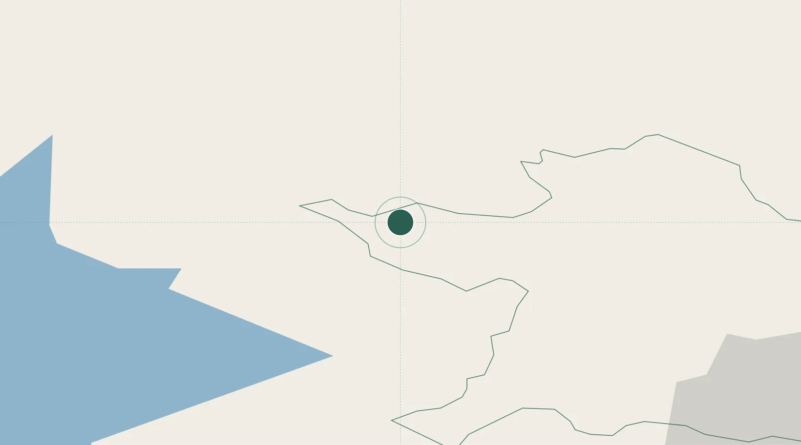
Place type
Populated place
Region
Leinster
Population
1,384
Time zone
Europe/Dublin
Elevation
102 m
Location
Nearby Logistics Neighbours
Cities
- 1Ballynacargy33 km
- 2Navan (An Uaimh)35 km
- 3Crossmaglen40 km
- 4Enfield47 km
- 5Ballyconnell48 km
Ports
- 1Drogheda57 km
- 2Warren Point71 km
- 3Greenore74 km
- 4Dublin76 km
- 5Kilkeel84 km
Airports
- 1Weston Airport64 km
- 2Casement Air Base70 km
- 3Dublin Airport71 km
- 4Enniskillen/St Angelo Airport77 km
- 5Ireland West Airport Knock110 km
Trade Zones
DatabookThe Record of Consolidated Knowledge
Ireland beyond logistics?