Transport Functions
Rail
Road
Hub Profile
Place type
Populated place
Region
Leinster
Population
3,239
Time zone
Europe/Dublin
Elevation
76 m
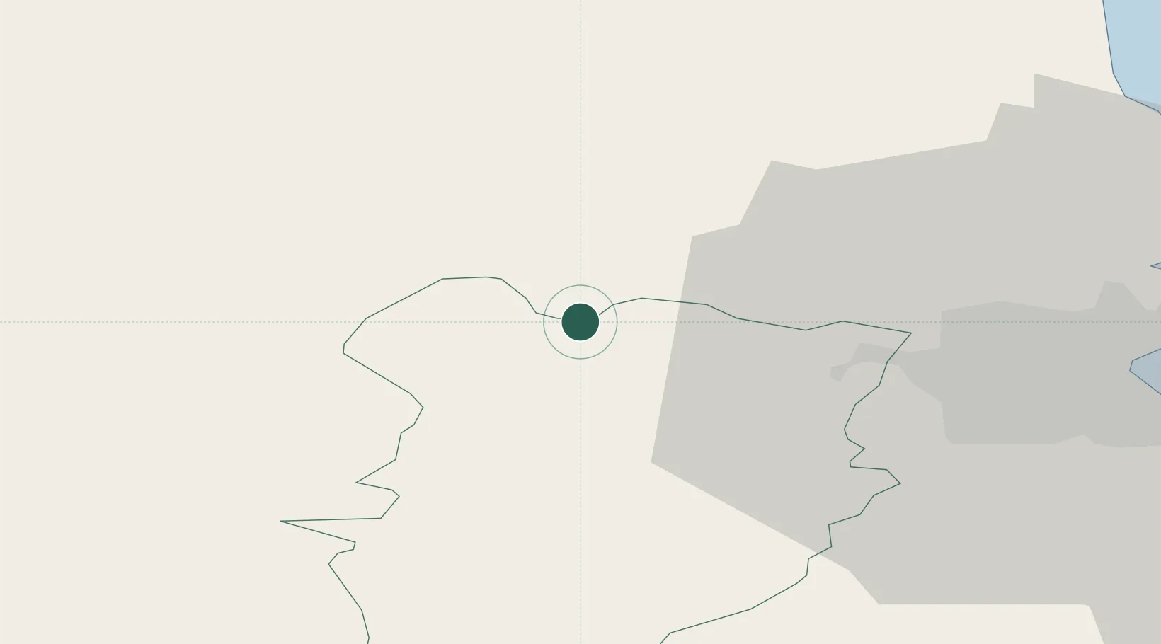
Location
Nearby Logistics Neighbours
Cities
- 1Clonbulloge24 km
- 2Whitestown28 km
- 3Navan (An Uaimh)30 km
- 4Curragh30 km
- 5Blanchardstown30 km
Ports
- 1Dublin38 km
- 2Drogheda49 km
- 3Greenore84 km
- 4Warren Point86 km
- 5Kilkeel91 km
Airports
- 1Weston Airport22 km
- 2Casement Air Base27 km
- 3Dublin Airport37 km
- 4Enniskillen/St Angelo Airport124 km
- 5Waterford Airport136 km
Trade Zones
DatabookThe Record of Consolidated Knowledge
Ireland beyond logistics?