Transport Functions
Port
Multimodal
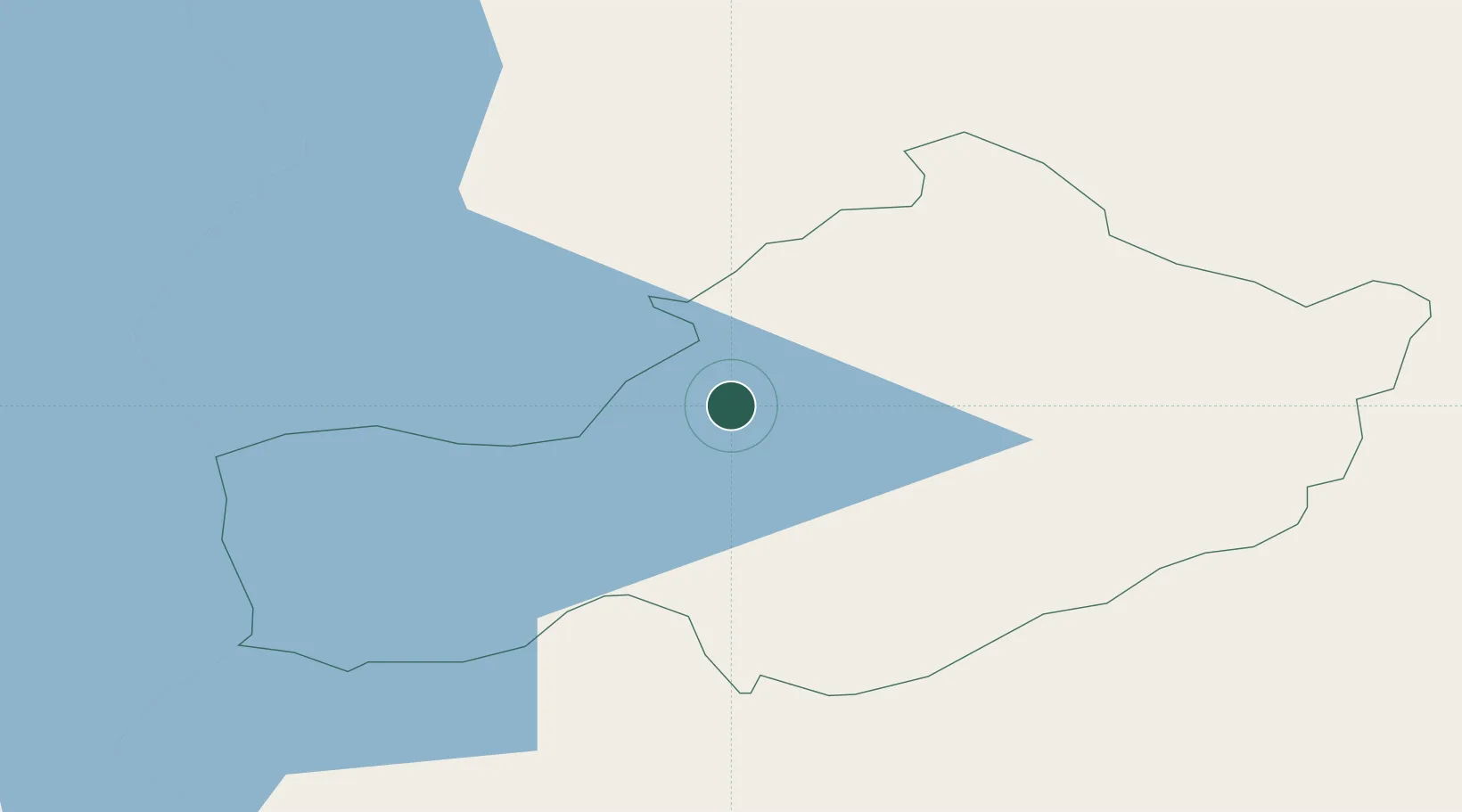
Location
Nearby Logistics Neighbours
Cities
- 1Tober24 km
- 2Oldcastle33 km
- 3Tullamore34 km
- 4Ballymurray39 km
- 5Clonbulloge46 km
Ports
- 1Drogheda83 km
- 2Dublin88 km
- 3Sligo99 km
- 4Warren Point103 km
- 5Greenore106 km
Airports
- 1Weston Airport73 km
- 2Casement Air Base78 km
- 3Dublin Airport86 km
- 4Ireland West Airport Knock93 km
- 5Enniskillen/St Angelo Airport93 km
Trade Zones
DatabookThe Record of Consolidated Knowledge
Ireland beyond logistics?