UN/LOCODE hub · Ireland
IEAUU

Navan (An Uaimh)

53.6500°, -6.6667°
2
Transport functions

Transport Functions

Rail
Road
UN/LOCODE

Hub Profile

Region
MH
GeoNames

Location

Location of IEAUU
Natural Earth 10m (public domain) · MH · IEAUU · 53.65, -6.67GoogleOSMYandex

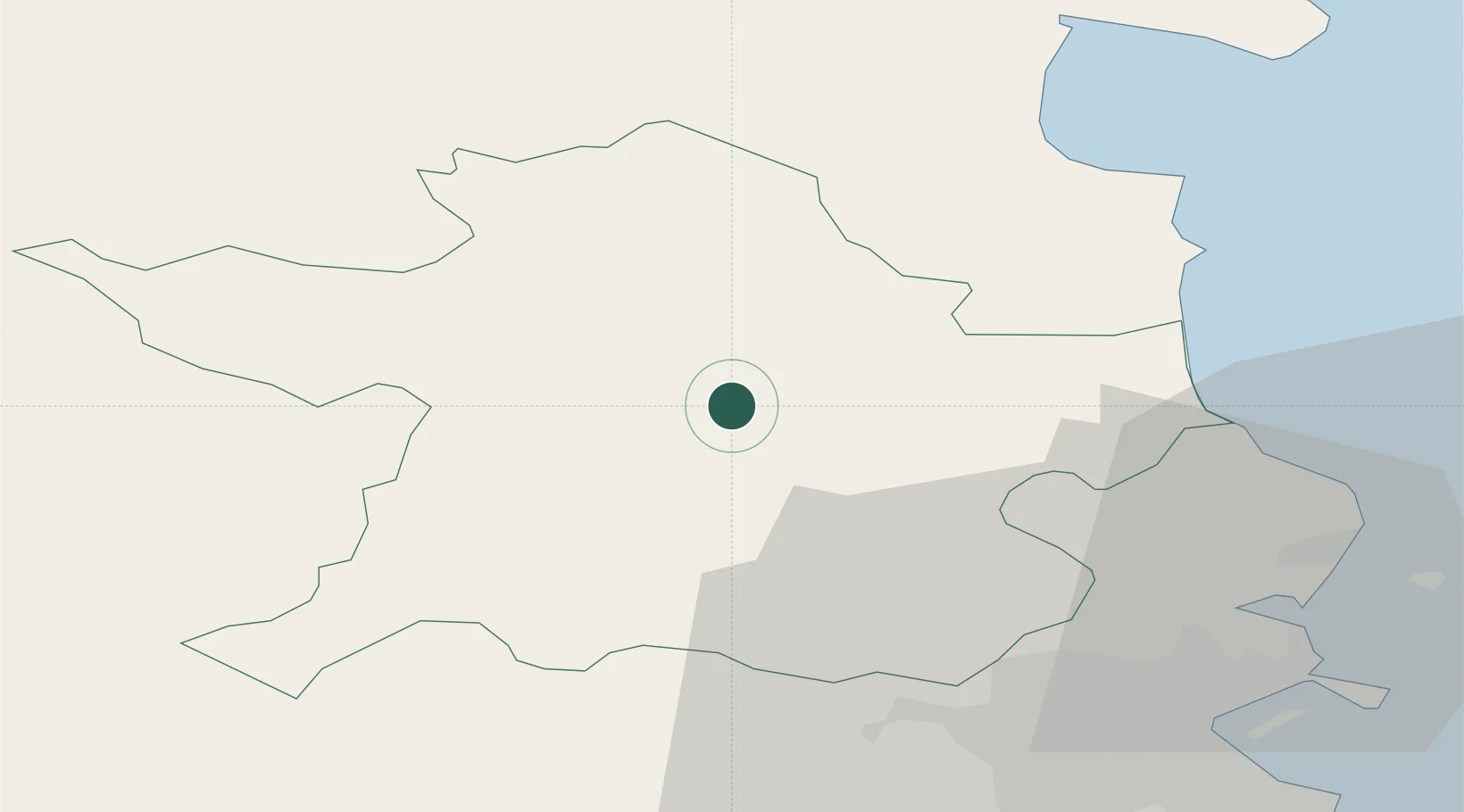
Nearby Logistics Neighbours

Cities
  1. 1Flogas Products Drogheda22 km
  2. 2Drogheda Maxol Facility23 km
  3. 3Town Quays/Drogheda23 km
  4. 4Tom Roes Point Terminal/Drogheda25 km
  5. 5Gormanston29 km
Nearest neighbours — logibook spatial index (haversine) over the source coordinates
Ports
  1. 1Drogheda25 km
  2. 2Dublin43 km
  3. 3Greenore55 km
  4. 4Warren Point57 km
  5. 5Kilkeel63 km
Nearest neighbours — logibook spatial index (haversine) over the source coordinates
Airports
  1. 1Weston Airport35 km
  2. 2Dublin Airport36 km
  3. 3Casement Air Base41 km
  4. 4Enniskillen/St Angelo Airport105 km
  5. 5Belfast International Airport116 km
Nearest neighbours — logibook spatial index (haversine) over the source coordinates
Trade Zones
  1. 1Dublin International Financial Services Centre43 km
  2. 2Isle of Man Free Zone and Business Park143 km
  3. 3Shannon Free Zone182 km
  4. 4Blackpool Enterprise Zone239 km
  5. 5Mersey Waters Enterprise Zone243 km
Nearest neighbours — logibook spatial index (haversine) over the source coordinates
DatabookThe Record of Consolidated Knowledge
Ireland beyond logistics?
Browse databook

All Sources

LocationsUN/LOCODE
UN/LOCODE — free
Portsthe NGA World Port Index
Public domain (US gov)
AirportsOurAirports
Public domain
Trade Zonesthe World Bank SEZ database
CC BY 4.0
Trade ZonesOpen Zone Map
CC BY
← Ireland locations