Transport Functions
Rail
Road
Hub Profile
Place type
Populated place
Region
Leinster
Population
418
Time zone
Europe/Dublin
Elevation
104 m
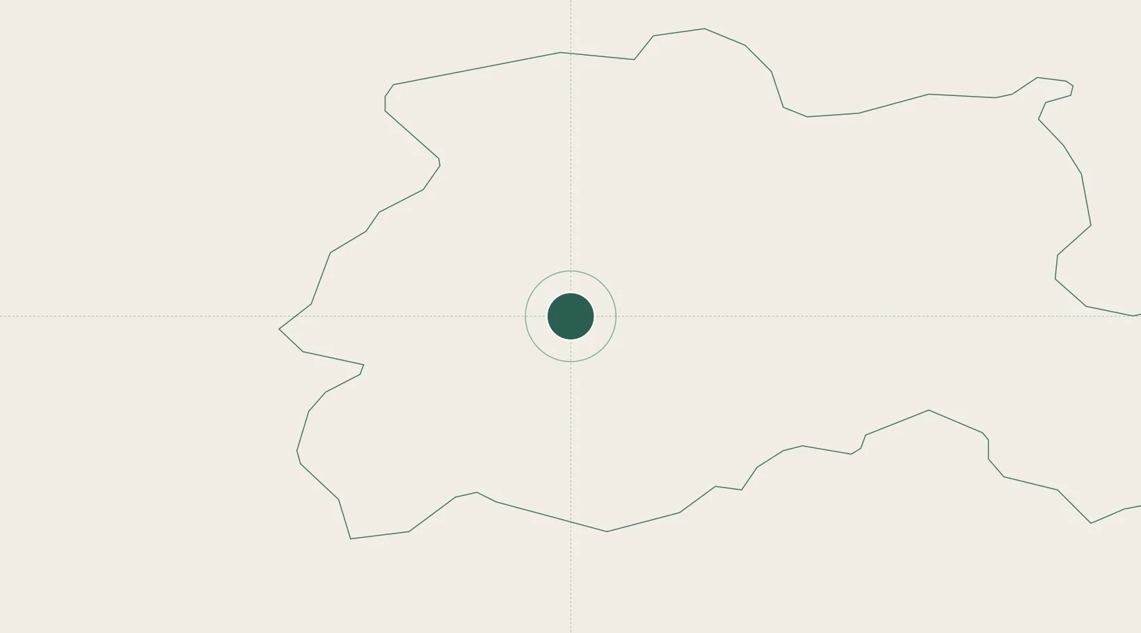
Location
Nearby Logistics Neighbours
Cities
- 1Durrow14 km
- 2Portlaoise16 km
- 3Portarlington29 km
- 4Tullamore33 km
- 5Clonbulloge41 km
Airports
- 1Casement Air Base78 km
- 2Weston Airport79 km
- 3Waterford Airport91 km
- 4Dublin Airport96 km
- 5Shannon Airport101 km
Trade Zones
DatabookThe Record of Consolidated Knowledge
Ireland beyond logistics?