UN/LOCODE hub · Ireland
IEIGE

Goresbridge

52.6167°, -6.9833°
361
Population
1
Transport functions

Transport Functions

Multimodal
UN/LOCODE

Hub Profile

Place type
Populated place
GeoNames
Region
Leinster
GeoNames
Population
361
GeoNames
Time zone
Europe/Dublin
GeoNames
Elevation
34 m
GeoNames

Location

Location of IEIGE
Natural Earth 10m (public domain) · Leinster · IEIGE · 52.62, -6.98GoogleOSMYandex

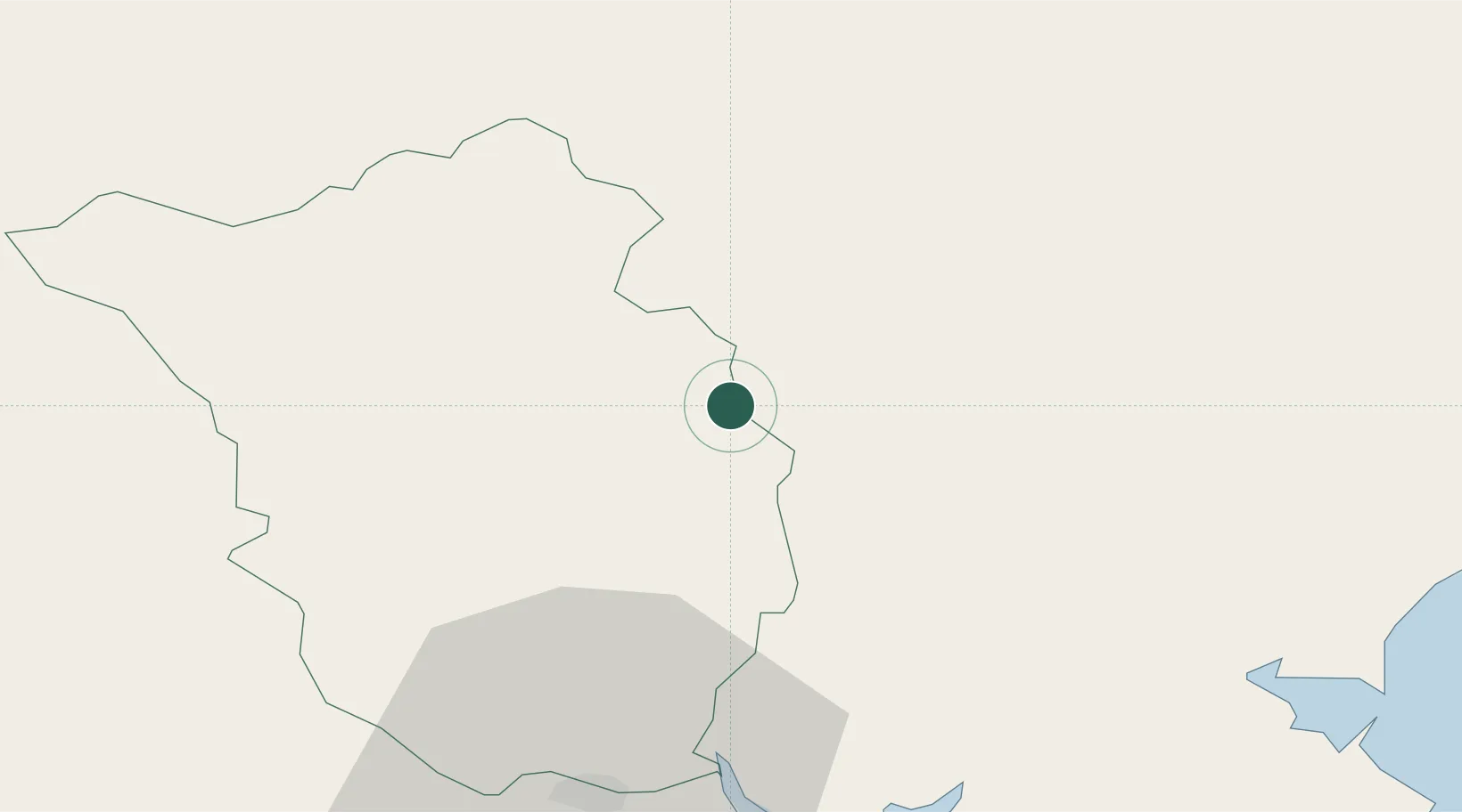
Nearby Logistics Neighbours

Cities
  1. 1Dungarvan8 km
  2. 2Bagenalstown10 km
  3. 3Marshmeadows/New Ross26 km
  4. 4New Ross-Raheen/Roberscon26 km
  5. 5New Ross26 km
Nearest neighbours — logibook spatial index (haversine) over the source coordinates
Ports
  1. 1New Ross26 km
  2. 2Waterford40 km
  3. 3Rosslare60 km
  4. 4Dublin95 km
  5. 5Limerick110 km
Nearest neighbours — logibook spatial index (haversine) over the source coordinates
Airports
  1. 1Waterford Airport48 km
  2. 2Casement Air Base84 km
  3. 3Weston Airport88 km
  4. 4Dublin Airport102 km
  5. 5Shannon Airport131 km
Nearest neighbours — logibook spatial index (haversine) over the source coordinates
Trade Zones
  1. 1Dublin International Financial Services Centre95 km
  2. 2Shannon Free Zone129 km
  3. 3Isle of Man Free Zone and Business Park227 km
  4. 4Cornwall Newquay Aerohub Enterprise Zone279 km
  5. 5Mersey Waters Enterprise Zone279 km
Nearest neighbours — logibook spatial index (haversine) over the source coordinates
DatabookThe Record of Consolidated Knowledge
Ireland beyond logistics?
Browse databook

All Sources

LocationsUN/LOCODE
UN/LOCODE — free
LocationsGeoNames
CC BY 4.0
Portsthe NGA World Port Index
Public domain (US gov)
AirportsOurAirports
Public domain
Trade Zonesthe World Bank SEZ database
CC BY 4.0
Trade ZonesOpen Zone Map
CC BY
← Ireland locations