Transport Functions
Port
Road
Hub Profile
Place type
Populated place
Region
Leinster
Time zone
Europe/Dublin
Elevation
63 m
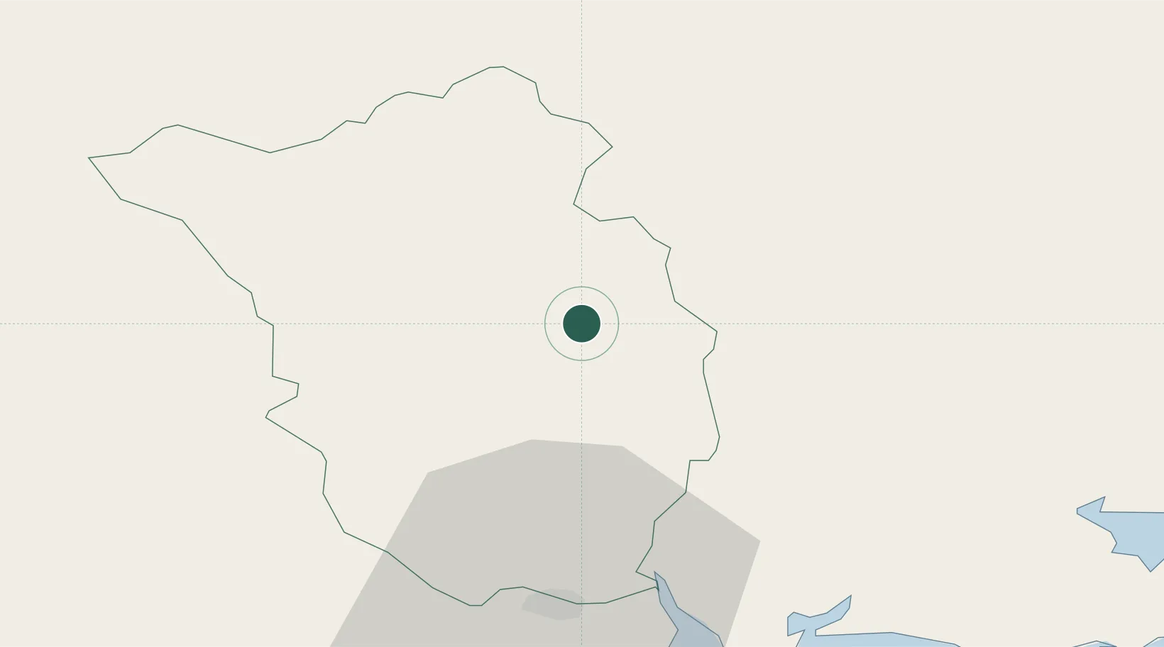
Location
Nearby Logistics Neighbours
Cities
- 1Goresbridge8 km
- 2Bagenalstown16 km
- 3Callan21 km
- 4Marshmeadows/New Ross24 km
- 5New Ross-Raheen/Roberscon24 km
Airports
- 1Waterford Airport44 km
- 2Casement Air Base90 km
- 3Weston Airport94 km
- 4Dublin Airport109 km
- 5Shannon Airport125 km
Trade Zones
DatabookThe Record of Consolidated Knowledge
Ireland beyond logistics?