Transport Functions
Port
Road
Hub Profile
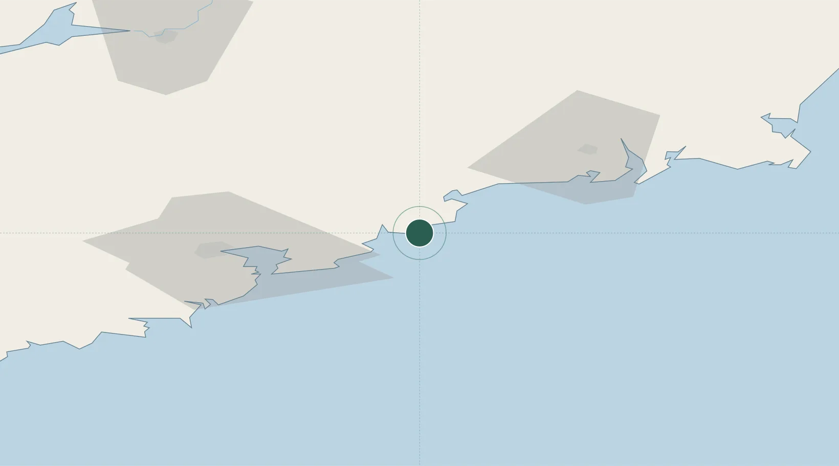
Place type
Populated place
Region
Munster
Population
434
Time zone
Europe/Dublin
Elevation
25 m
Location
Nearby Logistics Neighbours
Cities
- 1Tallow24 km
- 2Rushbrooke43 km
- 3Ringaskiddy Deepwater Terminal43 km
- 4Ringaskiddy43 km
- 5Ringaskiddy Passenger Terminal43 km
Airports
- 1Waterford Airport51 km
- 2Cork International Airport55 km
- 3Shannon Airport117 km
- 4Kerry Airport126 km
- 5Casement Air Base173 km
Trade Zones
DatabookThe Record of Consolidated Knowledge
Ireland beyond logistics?