UN/LOCODE hub · Ireland
IEGOW

Gowran

57.6167°, -7.4000°
804
Population
2
Transport functions

Transport Functions

Port
Multimodal
UN/LOCODE

Hub Profile

Place type
Populated place
GeoNames
Region
Leinster
GeoNames
Population
804
GeoNames
Time zone
Europe/Dublin
GeoNames
Elevation
61 m
GeoNames

Location

Location of IEGOW
Natural Earth 10m (public domain) · Leinster · IEGOW · 57.62, -7.40GoogleOSMYandex

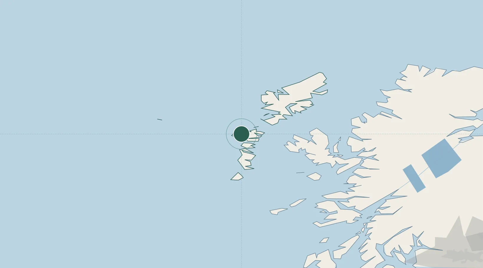
Nearby Logistics Neighbours

Cities
  1. 1Hougharry and Loch Eport9 km
  2. 2Lochmaddy13 km
  3. 3Otternish, North Uist15 km
  4. 4North Uist15 km
  5. 5Bernera (N Uist)15 km
Nearest neighbours — logibook spatial index (haversine) over the source coordinates
Ports
  1. 1Lochmaddy14 km
  2. 2Tarbert47 km
  3. 3Lochboisdale52 km
  4. 4Uig63 km
  5. 5Castle Bay74 km
Nearest neighbours — logibook spatial index (haversine) over the source coordinates
Airports
  1. 1Benbecula Airport15 km
  2. 2Barra Airport66 km
  3. 3Stornoway Airport92 km
  4. 4Coll Airport122 km
  5. 5Tiree Airport128 km
Nearest neighbours — logibook spatial index (haversine) over the source coordinates
Trade Zones
  1. 1Prestwick Airport Free Zone290 km
  2. 2Carlisle Kingmoor Park Enterprise Zone405 km
  3. 3Isle of Man Free Zone and Business Park428 km
  4. 4Dublin International Financial Services Centre480 km
  5. 5Blackpool Enterprise Zone507 km
Nearest neighbours — logibook spatial index (haversine) over the source coordinates
DatabookThe Record of Consolidated Knowledge
Ireland beyond logistics?
Browse databook

All Sources

LocationsUN/LOCODE
UN/LOCODE — free
LocationsGeoNames
CC BY 4.0
Portsthe NGA World Port Index
Public domain (US gov)
AirportsOurAirports
Public domain
Trade Zonesthe World Bank SEZ database
CC BY 4.0
Trade ZonesOpen Zone Map
CC BY
← Ireland locations