UN/LOCODE hub · United Kingdom
GBHGY

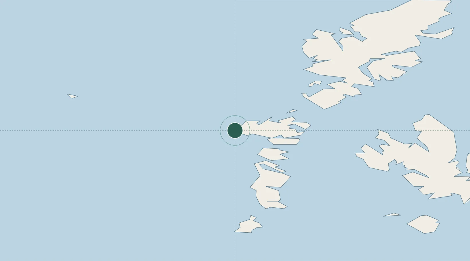
Hougharry and Loch Eport

57.6000°, -7.5500°
1
Transport functions

Transport Functions

Port
UN/LOCODE

Hub Profile

Region
ELS
GeoNames

Location

Location of GBHGY
Natural Earth 10m (public domain) · ELS · GBHGY · 57.60, -7.55GoogleOSMYandex

Nearby Logistics Neighbours

Cities
  1. 1Gowran9 km
  2. 2Lochmaddy22 km
  3. 3Otternish, North Uist24 km
  4. 4North Uist24 km
  5. 5Bernera (N Uist)24 km
Nearest neighbours — logibook spatial index (haversine) over the source coordinates
Ports
  1. 1Lochmaddy23 km
  2. 2Lochboisdale52 km
  3. 3Tarbert55 km
  4. 4Uig72 km
  5. 5Castle Bay72 km
Nearest neighbours — logibook spatial index (haversine) over the source coordinates
Airports
  1. 1Benbecula Airport17 km
  2. 2Barra Airport65 km
  3. 3Stornoway Airport99 km
  4. 4Coll Airport124 km
  5. 5Tiree Airport129 km
Nearest neighbours — logibook spatial index (haversine) over the source coordinates
Trade Zones
  1. 1Prestwick Airport Free Zone294 km
  2. 2Carlisle Kingmoor Park Enterprise Zone410 km
  3. 3Isle of Man Free Zone and Business Park431 km
  4. 4Dublin International Financial Services Centre480 km
  5. 5Blackpool Enterprise Zone511 km
Nearest neighbours — logibook spatial index (haversine) over the source coordinates
DatabookThe Record of Consolidated Knowledge
United Kingdom beyond logistics?
Browse databook

All Sources

LocationsUN/LOCODE
UN/LOCODE — free
Portsthe NGA World Port Index
Public domain (US gov)
AirportsOurAirports
Public domain
Trade Zonesthe World Bank SEZ database
CC BY 4.0
Trade ZonesOpen Zone Map
CC BY
← United Kingdom locations