Transport Functions
Multimodal
Hub Profile
Place type
Populated place
Region
Leinster
Time zone
Europe/Dublin
Elevation
138 m
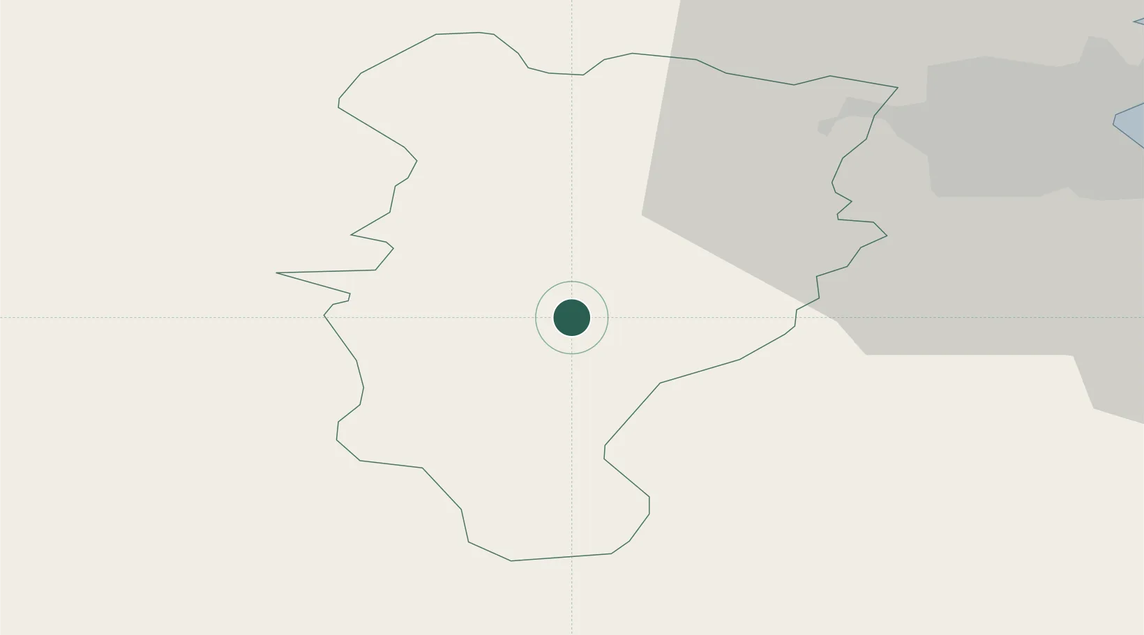
Location
Nearby Logistics Neighbours
Cities
- 1Clonbulloge22 km
- 2Portarlington23 km
- 3Enfield30 km
- 4Portlaoise32 km
- 5Whitestown39 km
Airports
- 1Casement Air Base31 km
- 2Weston Airport33 km
- 3Dublin Airport49 km
- 4Waterford Airport107 km
- 5Shannon Airport149 km
Trade Zones
DatabookThe Record of Consolidated Knowledge
Ireland beyond logistics?