UN/LOCODE hub · Ireland
IEWTN

Whitestown

53.3833°, -6.4000°
1
Transport functions

Transport Functions

Multimodal
UN/LOCODE

Hub Profile

Place type
Populated place
GeoNames
Region
Leinster
GeoNames
Time zone
Europe/Dublin
GeoNames
Elevation
60 m
GeoNames

Location

Location of IEWTN
Natural Earth 10m (public domain) · Leinster · IEWTN · 53.38, -6.40GoogleOSMYandex

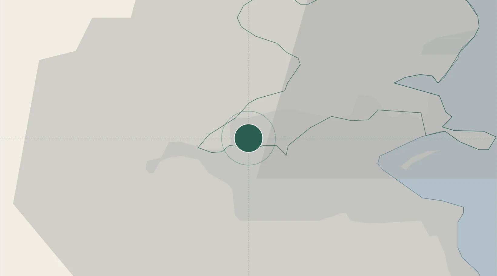
Nearby Logistics Neighbours

Cities
  1. 1Blanchardstown2 km
  2. 2Dublin12 km
  3. 3Dublin-Marine Terminal12 km
  4. 4Dublin-Ferryport Terminal 313 km
  5. 5Dublin-Dublin Ferryport Terminals13 km
Nearest neighbours — logibook spatial index (haversine) over the source coordinates
Ports
  1. 1Dublin11 km
  2. 2Drogheda38 km
  3. 3Greenore74 km
  4. 4Kilkeel79 km
  5. 5Warren Point80 km
Nearest neighbours — logibook spatial index (haversine) over the source coordinates
Airports
  1. 1Weston Airport7 km
  2. 2Casement Air Base10 km
  3. 3Dublin Airport10 km
  4. 4Anglesey Airport125 km
  5. 5Enniskillen/St Angelo Airport140 km
Nearest neighbours — logibook spatial index (haversine) over the source coordinates
Trade Zones
  1. 1Dublin International Financial Services Centre11 km
  2. 2Isle of Man Free Zone and Business Park141 km
  3. 3Shannon Free Zone183 km
  4. 4Mersey Waters Enterprise Zone224 km
  5. 5Blackpool Enterprise Zone226 km
Nearest neighbours — logibook spatial index (haversine) over the source coordinates
DatabookThe Record of Consolidated Knowledge
Ireland beyond logistics?
Browse databook

All Sources

LocationsUN/LOCODE
UN/LOCODE — free
Portsthe NGA World Port Index
Public domain (US gov)
AirportsOurAirports
Public domain
Trade Zonesthe World Bank SEZ database
CC BY 4.0
Trade ZonesOpen Zone Map
CC BY
← Ireland locations