Transport Functions
Multimodal
Hub Profile
Place type
Populated place
Region
Leinster
Time zone
Europe/Dublin
Elevation
66 m
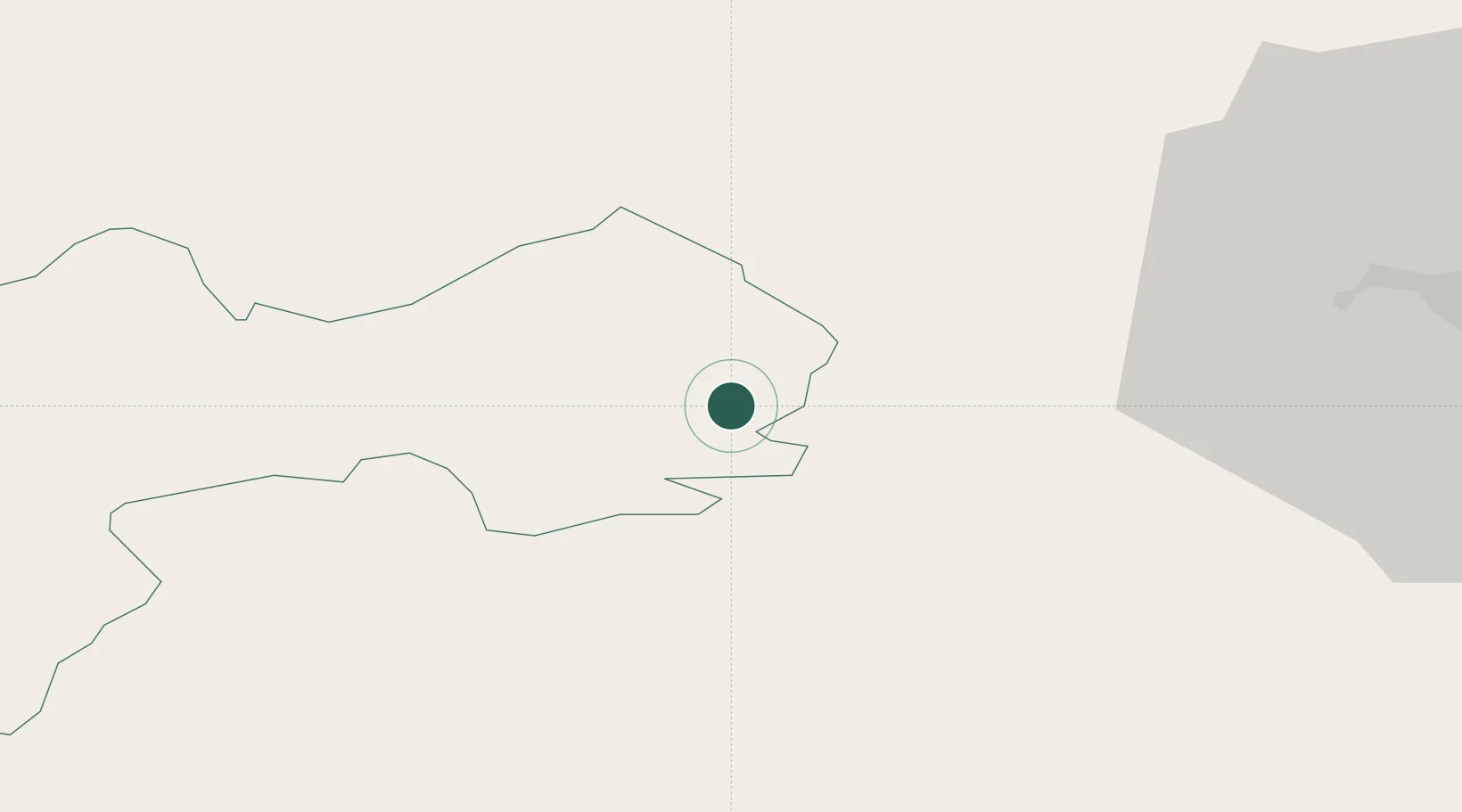
Location
Nearby Logistics Neighbours
Cities
- 1Portarlington12 km
- 2Curragh22 km
- 3Enfield24 km
- 4Tullamore27 km
- 5Portlaoise27 km
Ports
- 1Dublin57 km
- 2Drogheda73 km
- 3New Ross97 km
- 4Greenore107 km
- 5Warren Point109 km
Airports
- 1Weston Airport41 km
- 2Casement Air Base42 km
- 3Dublin Airport58 km
- 4Waterford Airport118 km
- 5Enniskillen/St Angelo Airport133 km
Trade Zones
DatabookThe Record of Consolidated Knowledge
Ireland beyond logistics?