UN/LOCODE hub · Ireland
IEBHT
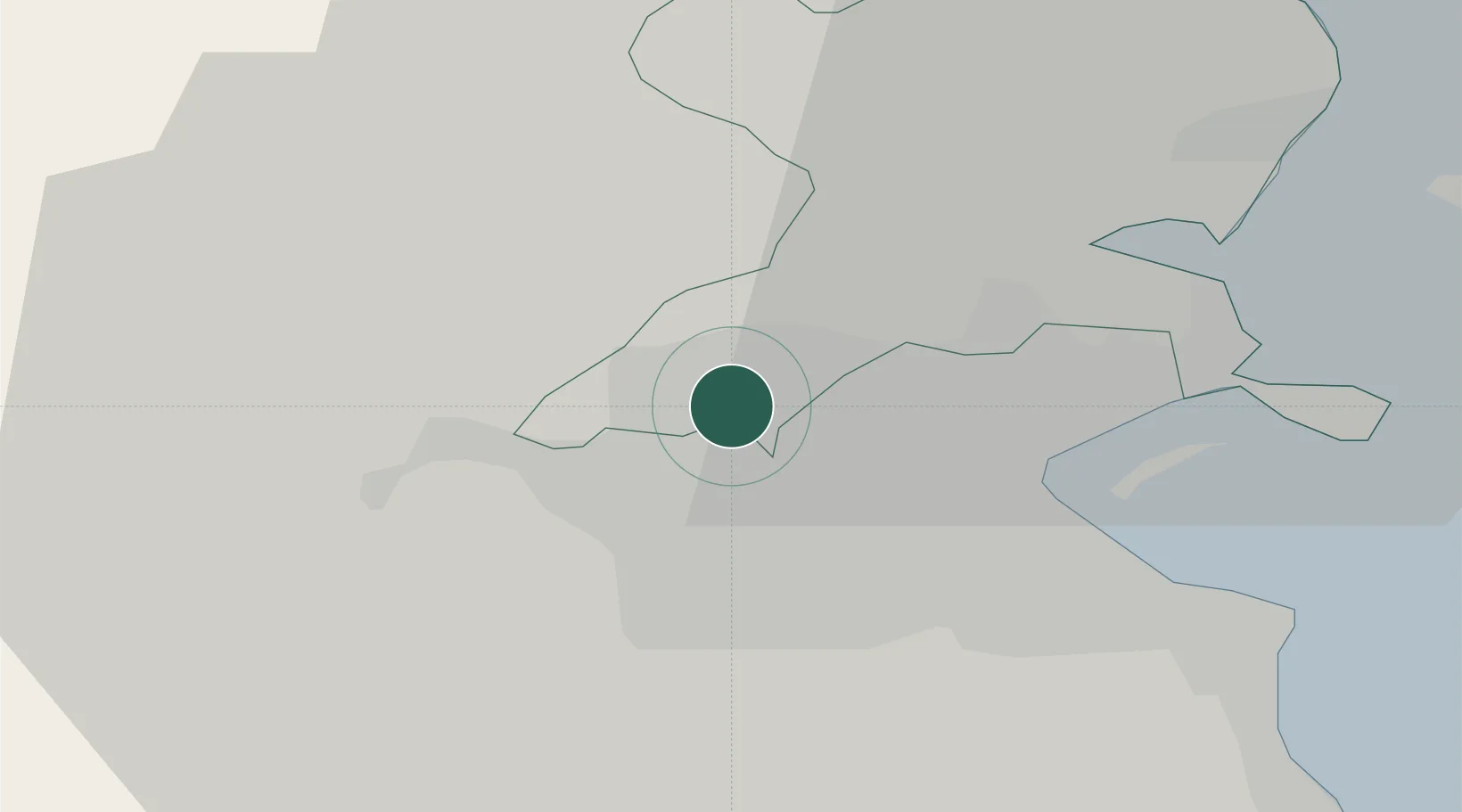
Blanchardstown
53.3833°, -6.3667°
16,511
Population
3
Transport functions
Transport Functions
Port
Rail
Road
Hub Profile
Place type
Populated place
Region
Leinster
Population
16,511
Time zone
Europe/Dublin
Elevation
49 m
Location
Nearby Logistics Neighbours
Cities
- 1Whitestown2 km
- 2Dublin10 km
- 3Dublin-Marine Terminal11 km
- 4Dublin-Ferryport Terminal 312 km
- 5Dublin-Dublin Ferryport Terminals12 km
Ports
- 1Dublin9 km
- 2Drogheda37 km
- 3Greenore74 km
- 4Kilkeel78 km
- 5Warren Point80 km
Airports
- 1Dublin Airport9 km
- 2Weston Airport9 km
- 3Casement Air Base11 km
- 4Anglesey Airport123 km
- 5Isle of Man Airport139 km
Trade Zones
DatabookThe Record of Consolidated Knowledge
Ireland beyond logistics?