Transport Functions
Multimodal
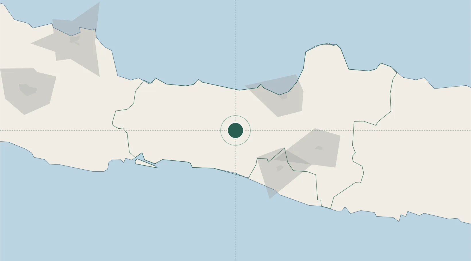
Hub Profile
Place type
Provincial seat
Region
Central Java
Population
92,990
Time zone
Asia/Jakarta
Elevation
794 m
Location
Nearby Logistics Neighbours
Cities
- 1Temanggung30 km
- 2Batang53 km
- 3Krapyak69 km
- 4Yogyakarta71 km
- 5Tawangsari72 km
Ports
- 1Pekalongan62 km
- 2Semarang74 km
- 3Tegal102 km
- 4Cilacap107 km
- 5Cirebon164 km
Airports
Trade Zones
DatabookThe Record of Consolidated Knowledge
Indonesia beyond logistics?