Transport Functions
Rail
Road
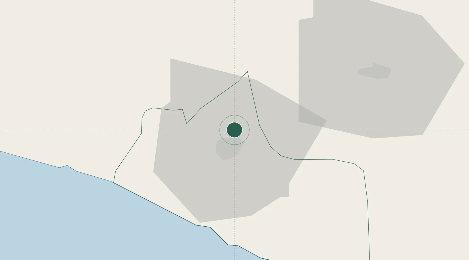
Hub Profile
Place type
Populated place
Region
Yogyakarta
Time zone
Asia/Jakarta
Elevation
225 m
Location
Nearby Logistics Neighbours
Cities
- 1Yogyakarta8 km
- 2Jogja Inland Port19 km
- 3Bantul20 km
- 4Klaten21 km
- 5Sukoharjo48 km
Ports
- 1Semarang87 km
- 2Pekalongan125 km
- 3Cilacap154 km
- 4Rembang156 km
- 5Tegal171 km
Airports
Trade Zones
DatabookThe Record of Consolidated Knowledge
Indonesia beyond logistics?