Medium airport · Indonesia

Tunggul Wulung AirportWAHL
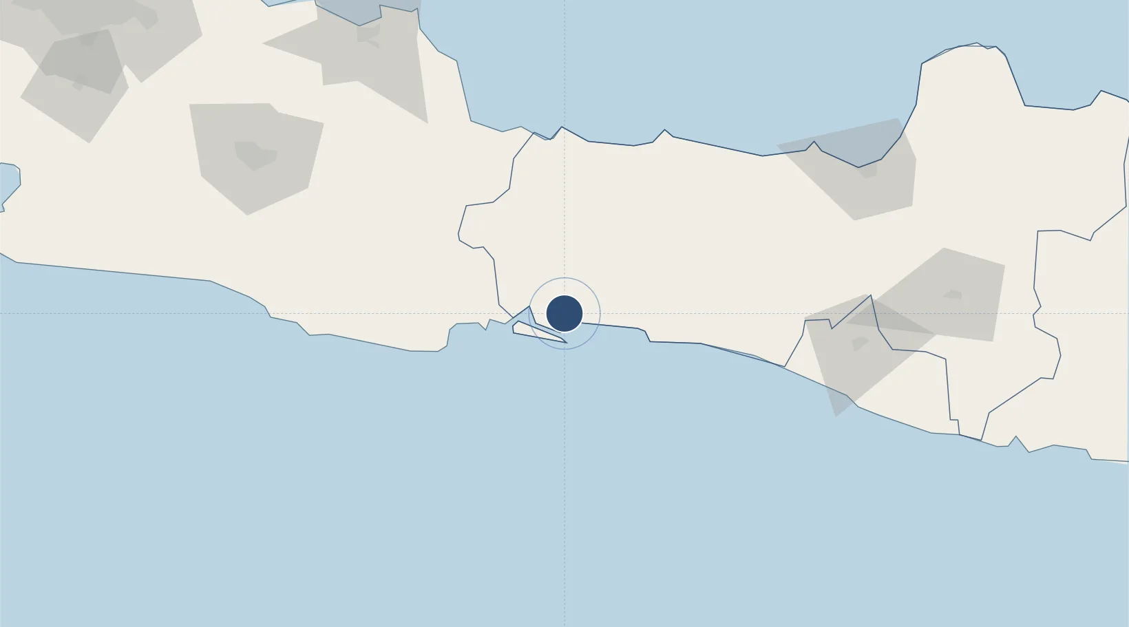
-7.6451°, 109.0340°
4,593 ft
Longest runway
1
Runways
69 ft
Elevation

Runway & Layout

Tunggul Wulung Airport runway & taxiway layout
Runway & taxiway layout — OpenStreetMap (ODbL) / OurAirports

Radio Frequencies

A/G
122.8 MHz
RDO
OurAirports

Navaids

CLP VOR-DME Cilacap 114.90 MHz
CP NDB Cilacap 235 kHz
OurAirports

Runways · 1

RunwayDimensions SurfaceTrue headingLit
13/31 4,593 × 96ft Asphalt 133°
OurAirports

Airport Specifications

IATA code
CXP
OurAirports
ICAO code
WAHL
OurAirports
Airport class
Medium airport
OurAirports
Scheduled service
Yes
OurAirports
Runway surface
Asphalt
OurAirports
Served city
Cilacap
OurAirports

Location

Location of WAHL
Natural Earth 10m (public domain) · Jawa Tengah · WAHL · -7.65, 109.03GoogleOSMYandex

Nearby Logistics Neighbours

Airports
  1. 1Nusawiru Airport61 km
  2. 2Yogyakarta International Airport116 km
  3. 3Kertajati International Airport147 km
  4. 4Adisutjipto International Airport155 km
  5. 5Jenderal Ahmad Yani Airport166 km
Nearest neighbours — logibook spatial index (haversine) over the source coordinates
Cities
  1. 1Cilacap (Tjilatjap)11 km
  2. 2Banjaran57 km
  3. 3Wonosobo100 km
  4. 4Batang113 km
  5. 5Cirebon (Tjeribon)114 km
Nearest neighbours — logibook spatial index (haversine) over the source coordinates
Ports
  1. 1Cilacap11 km
  2. 2Tegal89 km
  3. 3Pekalongan115 km
  4. 4Cirebon115 km
  5. 5Semarang171 km
Nearest neighbours — logibook spatial index (haversine) over the source coordinates
Trade Zones
  1. 1KEK Kendal155 km
  2. 2Rancaekek Industrial Estate156 km
  3. 3Bukit Semarang Baru Industrial Park158 km
  4. 4Wijayakusuma Industrial Estate162 km
  5. 5Candi Industrial Estate167 km
Nearest neighbours — logibook spatial index (haversine) over the source coordinates
DatabookThe Record of Consolidated Knowledge
Indonesia beyond logistics?
Browse databook

All Sources

AirportsOurAirports
Public domain
Portsthe NGA World Port Index
Public domain (US gov)
LocationsUN/LOCODE
UN/LOCODE — free
Trade Zonesthe World Bank SEZ database
CC BY 4.0
Trade ZonesOpen Zone Map
CC BY
InfrastructureOpenStreetMap
ODbL 1.0
← Indonesia airports