UN/LOCODE hub · Indonesia
IDJOG
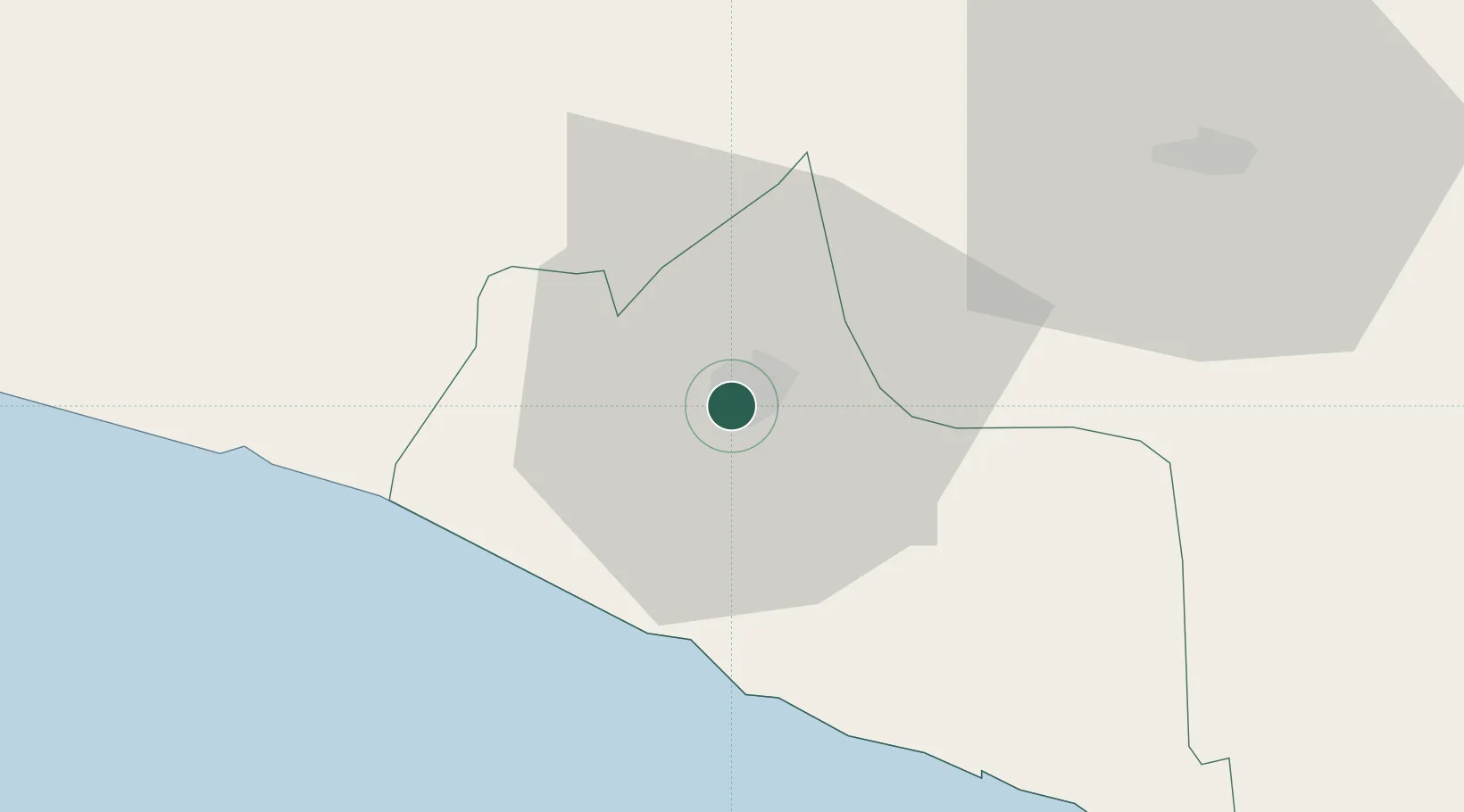
Yogyakarta
-7.8000°, 110.3667°
373,589
Population
4
Transport functions
Transport Functions
Rail
Road
Airport
Multimodal
Hub Profile
Place type
Regional capital
Region
Yogyakarta
Population
373,589
Time zone
Asia/Jakarta
Elevation
110 m
Location
Nearby Logistics Neighbours
Cities
- 1Krapyak8 km
- 2Jogja Inland Port11 km
- 3Bantul12 km
- 4Klaten26 km
- 5Sukoharjo53 km
Ports
- 1Semarang95 km
- 2Pekalongan129 km
- 3Cilacap151 km
- 4Rembang164 km
- 5Tegal172 km
Airports
Trade Zones
DatabookThe Record of Consolidated Knowledge
Indonesia beyond logistics?