Transport Functions
Multimodal
Hub Profile
Place type
Provincial seat
Region
Central Java
Time zone
Asia/Jakarta
Elevation
10 m
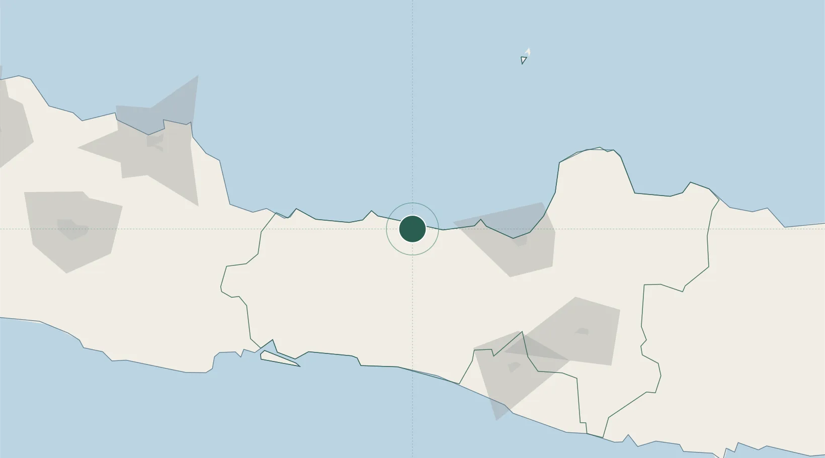
Location
Nearby Logistics Neighbours
Cities
- 1Wonosobo53 km
- 2Temanggung63 km
- 3Semarang73 km
- 4Tawangsari97 km
- 5Demak98 km
Ports
- 1Pekalongan9 km
- 2Tegal69 km
- 3Semarang74 km
- 4Cilacap123 km
- 5Cirebon133 km
Airports
- 1Jenderal Ahmad Yani Airport69 km
- 2Tunggul Wulung Airport113 km
- 3Yogyakarta International Airport115 km
- 4Adisutjipto International Airport123 km
- 5Adisumarmo Airport130 km
Trade Zones
DatabookThe Record of Consolidated Knowledge
Indonesia beyond logistics?