UN/LOCODE hub · Indonesia
IDSDA

Durian

1.0167°, 103.5667°
1
Transport functions

Transport Functions

Port
UN/LOCODE

Hub Profile

Place type
Populated place
GeoNames
Region
West Sumatra
GeoNames
Time zone
Asia/Jakarta
GeoNames
Elevation
98 m
GeoNames

Location

Location of IDSDA
Natural Earth 10m (public domain) · West Sumatra · IDSDA · 1.02, 103.57GoogleOSMYandex

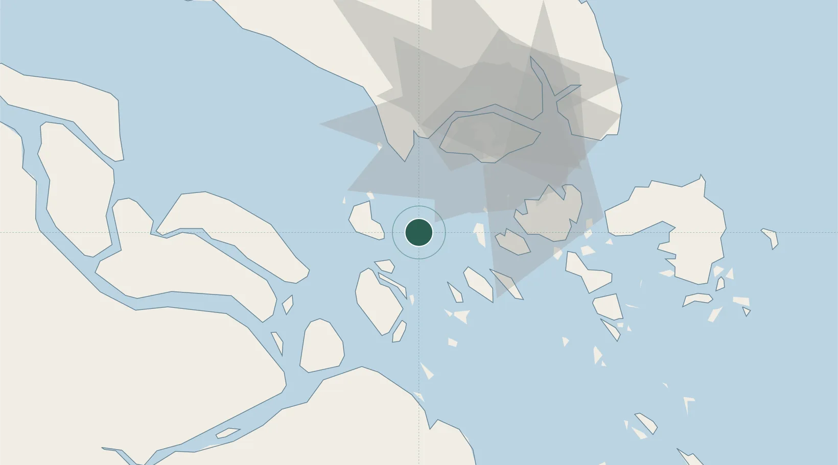
Nearby Logistics Neighbours

Cities
  1. 1Nipah11 km
  2. 2Tanjungbalai15 km
  3. 3Pulau Ayer Chawan32 km
  4. 4Jurong/Singapore33 km
  5. 5Tuas35 km
Nearest neighbours — logibook spatial index (haversine) over the source coordinates
Ports
  1. 1Tanjung Balai Karimun15 km
  2. 2Pulau Bukom33 km
  3. 3Pulau Sebarok33 km
  4. 4Jurong Island35 km
  5. 5Tanjung Pelepas37 km
Nearest neighbours — logibook spatial index (haversine) over the source coordinates
Airports
  1. 1Tengah Air Base44 km
  2. 2Sembawang Air Base53 km
  3. 3Paya Lebar Air Base54 km
  4. 4Seletar Airport56 km
  5. 5Singapore Changi Airport60 km
Nearest neighbours — logibook spatial index (haversine) over the source coordinates
Trade Zones
  1. 1Western Gate Development Flagship Zone36 km
  2. 2Jurong Port Free Trade Zone37 km
  3. 3Tanjung Bin Free Industrial Zone, Johor37 km
  4. 4Pasir Panjang Wharves And Terminal Free Trade Zone38 km
  5. 5Port Of Tanjung Pelepas Free Zone38 km
Nearest neighbours — logibook spatial index (haversine) over the source coordinates
DatabookThe Record of Consolidated Knowledge
Indonesia beyond logistics?
Browse databook

All Sources

LocationsUN/LOCODE
UN/LOCODE — free
Portsthe NGA World Port Index
Public domain (US gov)
AirportsOurAirports
Public domain
Trade Zonesthe World Bank SEZ database
CC BY 4.0
Trade ZonesOpen Zone Map
CC BY
← Indonesia locations