Seaport · Malaysia
Tanjung PelepasMYTPP
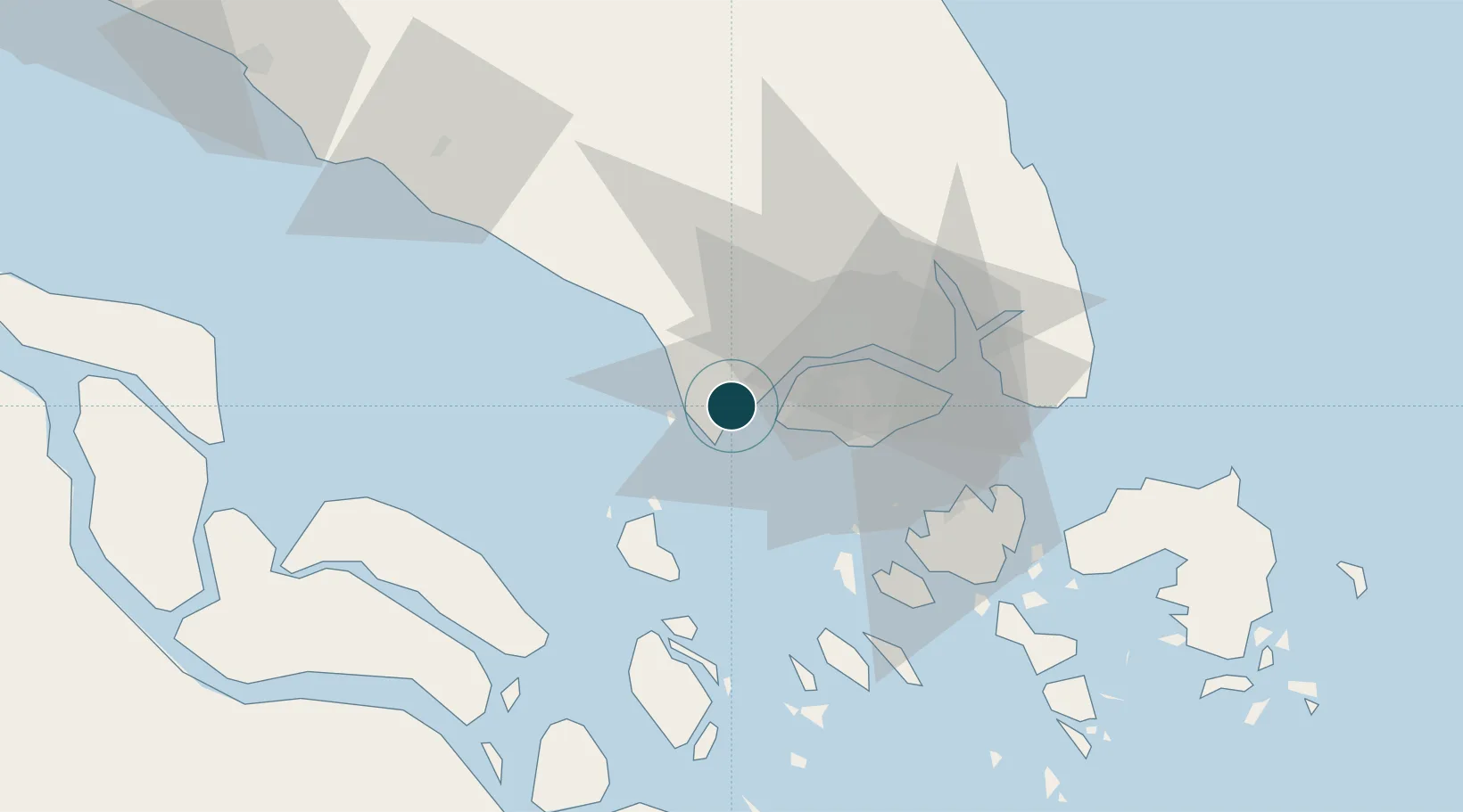
1.3500°, 103.5500°
14.0 m
Channel depth
1
Container terminals
581.9
Port liner connectivity
Channel & Berth Profile
Pilotage, Tugs & Services
Pilotage compulsoryYES
Tug assistanceYES
Potable waterYES
MedicalYES
Garbage disposalYES
Facilities & Capabilities
Container—
Ro-Ro—
Liquid bulk—
Dry bulk—
Oil terminal—
Break bulk—
Dry dock—
RepairsNO
BunkeringYES
Rail linkYES
Dangerous cargo—
ISPS security—
Harbour Specifications
Harbour size
Medium
Harbour type
River (Basins)
Shelter
Good
Water body
Strait of Malacca; Indian Ocean
Tidal range
2 m
Pilotage
Yes
Liner Connectivity
581.9
PLSCI
Port Liner Shipping Connectivity Index for Tanjung Pelepas, as published by UNCTAD for the latest available quarter. Higher values indicate stronger scheduled liner-shipping integration.
Shown relative to the highest per-port PLSCI in the dataset (1,657.9).
Location
Container Terminals · 1
PORT OF TANJUNG PELEPAS (PTP)
PTP PORT OF TANJUNG PELEPAS SDN. BHD.
Nearby Logistics Neighbours
Ports
- 1Jurong Island22 km
- 2Pulau Bukom27 km
- 3Pulau Sebarok32 km
- 4Keppel - (East Singapore)34 km
- 5Johor40 km
Cities
- 1Tanjong Bin2 km
- 2Gelang Patah3 km
- 3Kampong Tanjong Kupang4 km
- 4Tuas12 km
- 5Singapore18 km
Airports
- 1Tengah Air Base18 km
- 2Sembawang Air Base30 km
- 3Senai International Airport35 km
- 4Seletar Airport36 km
- 5Paya Lebar Air Base40 km
DatabookThe Record of Consolidated Knowledge
Malaysia beyond logistics?