UN/LOCODE hub · Singapore
SGJUR

Jurong/Singapore

1.2739°, 103.7166°
2
Transport functions

Transport Functions

Port
Road
Jurong/Singapore is also a profiled seaport →
UN/LOCODE

Hub Profile

Logistics facilities
1
UN/LOCODE

Location

Location of SGJUR
Natural Earth 10m (public domain) · South West · SGJUR · 1.27, 103.72GoogleOSMYandex

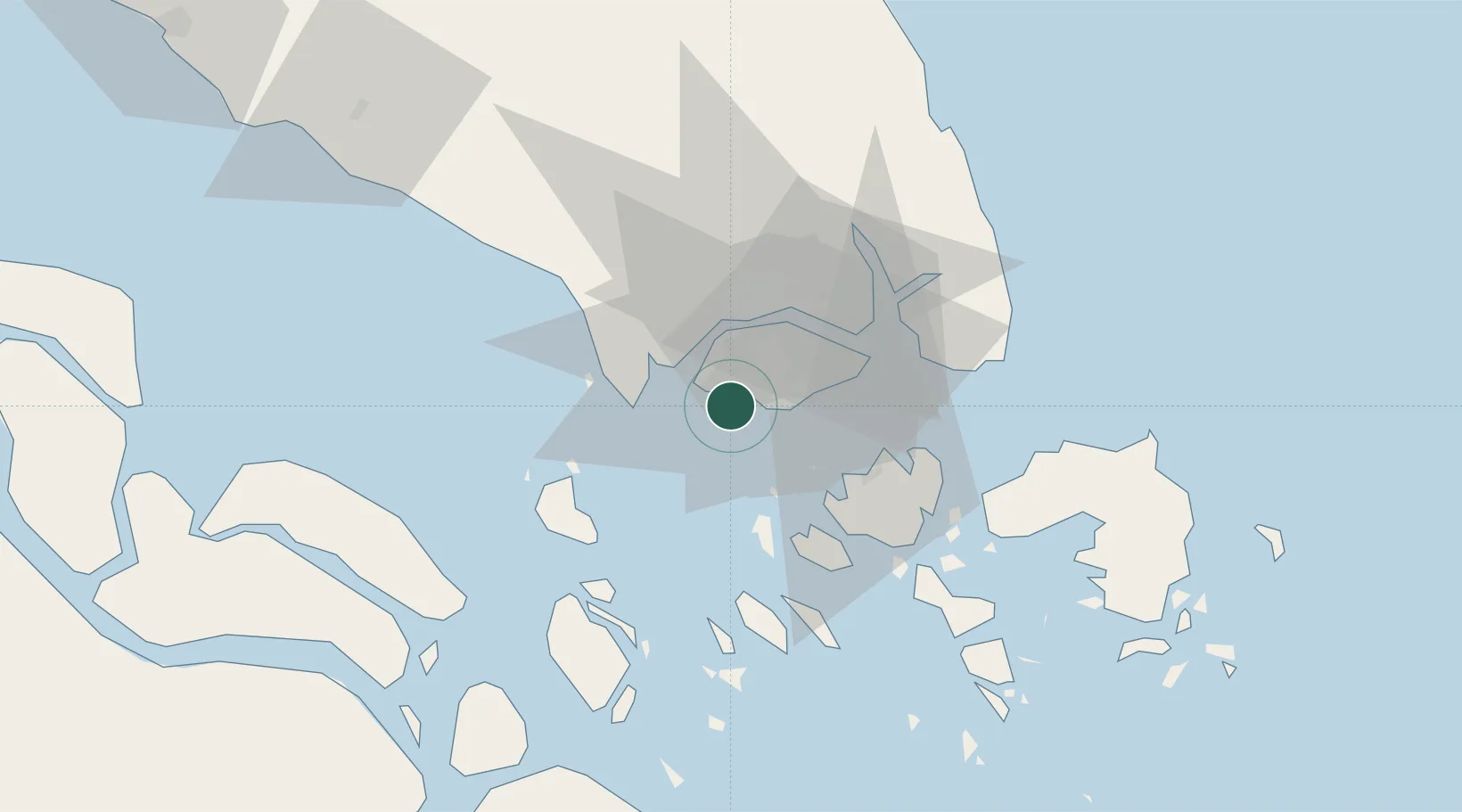
Nearby Logistics Neighbours

Cities
  1. 1Pulau Ayer Chawan2 km
  2. 2Singapore3 km
  3. 3PASIR PANJANG Terminal6 km
  4. 4Pasir Panjang Wharves8 km
  5. 5Tuas9 km
Nearest neighbours — logibook spatial index (haversine) over the source coordinates
Ports
  1. 1Pulau Bukom7 km
  2. 2Pulau Sebarok12 km
  3. 3Keppel - (East Singapore)15 km
  4. 4Tanjung Pelepas20 km
  5. 5Pulau Sambu24 km
Nearest neighbours — logibook spatial index (haversine) over the source coordinates
Airports
  1. 1Tengah Air Base13 km
  2. 2Sembawang Air Base20 km
  3. 3Seletar Airport23 km
  4. 4Paya Lebar Air Base24 km
  5. 5Singapore Changi Airport32 km
Nearest neighbours — logibook spatial index (haversine) over the source coordinates
Trade Zones
  1. 1Jurong Port Free Trade Zone4 km
  2. 2One-North Innovation District8 km
  3. 3Pasir Panjang Wharves And Terminal Free Trade Zone8 km
  4. 4Jurong Innovation District9 km
  5. 5Keppel Distripark Free Trade Zone12 km
Nearest neighbours — logibook spatial index (haversine) over the source coordinates
DatabookThe Record of Consolidated Knowledge
Singapore beyond logistics?
Browse databook

All Sources

LocationsUN/LOCODE
UN/LOCODE — free
Portsthe NGA World Port Index
Public domain (US gov)
AirportsOurAirports
Public domain
Trade Zonesthe World Bank SEZ database
CC BY 4.0
Trade ZonesOpen Zone Map
CC BY
← Singapore locations