UN/LOCODE hub · Indonesia
IDNIP

Nipah

1.1167°, 103.5500°
1
Transport functions

Transport Functions

Port
UN/LOCODE

Hub Profile

Place type
Populated place
GeoNames
Region
North Sumatra
GeoNames
Time zone
Asia/Jakarta
GeoNames
Elevation
2 m
GeoNames

Location

Location of IDNIP
Natural Earth 10m (public domain) · North Sumatra · IDNIP · 1.12, 103.55GoogleOSMYandex

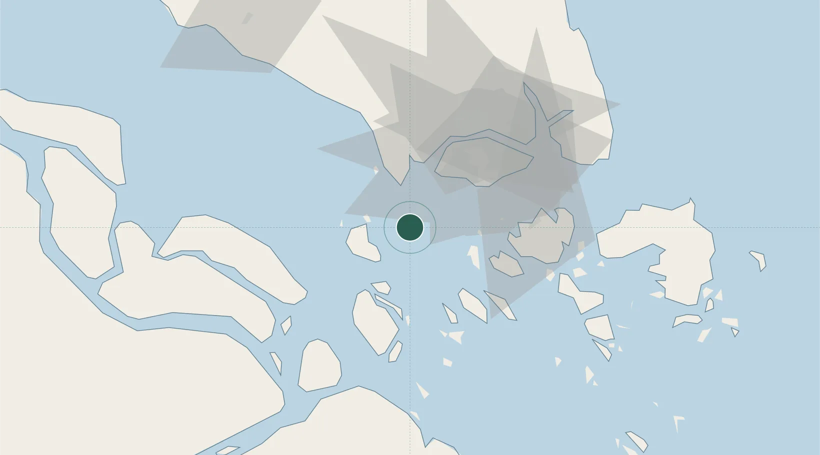
Nearby Logistics Neighbours

Cities
  1. 1Durian11 km
  2. 2Tanjungbalai18 km
  3. 3Pulau Ayer Chawan24 km
  4. 4Tanjong Bin24 km
  5. 5Tuas25 km
Nearest neighbours — logibook spatial index (haversine) over the source coordinates
Ports
  1. 1Tanjung Balai Karimun20 km
  2. 2Tanjung Pelepas26 km
  3. 3Pulau Bukom27 km
  4. 4Jurong Island28 km
  5. 5Pulau Sebarok29 km
Nearest neighbours — logibook spatial index (haversine) over the source coordinates
Airports
  1. 1Tengah Air Base35 km
  2. 2Sembawang Air Base45 km
  3. 3Paya Lebar Air Base48 km
  4. 4Seletar Airport48 km
  5. 5Singapore Changi Airport56 km
Nearest neighbours — logibook spatial index (haversine) over the source coordinates
Trade Zones
  1. 1Western Gate Development Flagship Zone24 km
  2. 2Tanjung Bin Free Industrial Zone, Johor26 km
  3. 3Port Of Tanjung Pelepas Free Zone27 km
  4. 4Jurong Port Free Trade Zone28 km
  5. 5Jurong Innovation District31 km
Nearest neighbours — logibook spatial index (haversine) over the source coordinates
DatabookThe Record of Consolidated Knowledge
Indonesia beyond logistics?
Browse databook

All Sources

LocationsUN/LOCODE
UN/LOCODE — free
Portsthe NGA World Port Index
Public domain (US gov)
AirportsOurAirports
Public domain
Trade Zonesthe World Bank SEZ database
CC BY 4.0
Trade ZonesOpen Zone Map
CC BY
← Indonesia locations