Free Trade Zone · Singapore

Pasir Panjang Wharves And Terminal Free Trade Zone Active
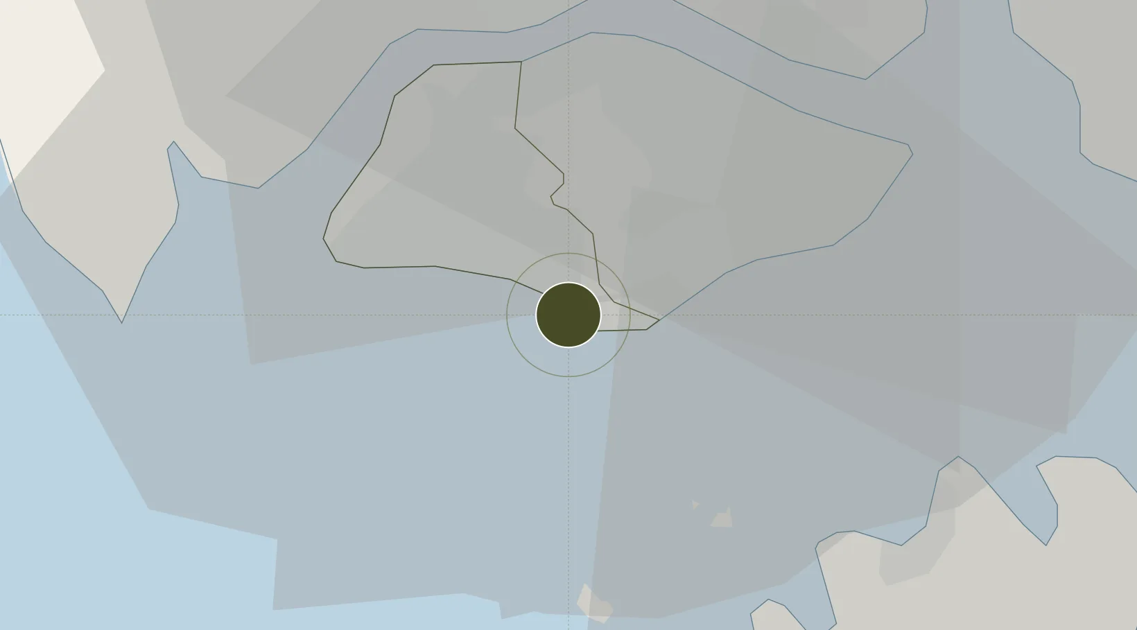
1.2750°, 103.7910°
576 ha
Zone area
5.4 km
Nearest port
15.5 km
Nearest airport

Gateway access

Nearest neighbours — logibook spatial index (haversine) over the source coordinates

Zone profile

Zone type
Free Trade Zone
Open Zone Map
Region
South West
Open Zone Map
Status
Active
Open Zone Map
Management
Private
Open Zone Map
Operator
PSA Corporation Ltd
Open Zone Map
Legal framework
Free Trade Zones Act (Original Enactment: Act 30 of 1966); Revised Edition 31st May 2014
Open Zone Map

Location

Location of ozm-4135
Natural Earth 10m (public domain) · South West · ozm-4135 · 1.28, 103.79GoogleOSMYandex

Nearby Logistics Neighbours

Ports
  1. 1Pulau Bukom5 km
  2. 2Jurong Island7 km
  3. 3Keppel - (East Singapore)7 km
  4. 4Pulau Sebarok8 km
  5. 5Pulau Sambu17 km
Nearest neighbours — logibook spatial index (haversine) over the source coordinates
Airports
  1. 1Tengah Air Base16 km
  2. 2Paya Lebar Air Base16 km
  3. 3Sembawang Air Base17 km
  4. 4Seletar Airport18 km
  5. 5Singapore Changi Airport24 km
Nearest neighbours — logibook spatial index (haversine) over the source coordinates
Cities
  1. 1Pasir Panjang Wharves1 km
  2. 2PASIR PANJANG Terminal3 km
  3. 3Bukit Merah Estate3 km
  4. 4Choa Chu Kang7 km
  5. 5Clementi7 km
Nearest neighbours — logibook spatial index (haversine) over the source coordinates
Trade Zones
  1. 1One-North Innovation District2 km
  2. 2Keppel Distripark Free Trade Zone4 km
  3. 3Brani Terminal Free Trade Zone5 km
  4. 4Keppel Terminal Free Trade Zone6 km
  5. 5Tanjong Pagar Terminal Free Trade Zone6 km
Nearest neighbours — logibook spatial index (haversine) over the source coordinates
DatabookThe Record of Consolidated Knowledge
Singapore beyond logistics?
Browse databook

All Sources

Trade ZonesOpen Zone Map
CC BY
Portsthe NGA World Port Index
Public domain (US gov)
AirportsOurAirports
Public domain
LocationsUN/LOCODE
UN/LOCODE — free
← Singapore trade zones