Export Processing Zone · Malaysia

Port Of Tanjung Pelepas Free Zone Active

1.3621°, 103.5532°
640 ha
Zone area
1.4 km
Nearest port
17.5 km
Nearest airport

Gateway access

Nearest neighbours — logibook spatial index (haversine) over the source coordinates

Zone profile

Zone type
Export Processing Zone
Open Zone Map
Region
Johor
Open Zone Map
Status
Active
Open Zone Map
Management
Public
Open Zone Map
Operator
Pelabuhan Tanjung Pelepas Sdn Bhd.
Open Zone Map
Legal framework
Free Zones Act of 1990 (Act 438)
Open Zone Map

Location

Location of ozm-2783
Natural Earth 10m (public domain) · Johor · ozm-2783 · 1.36, 103.55GoogleOSMYandex

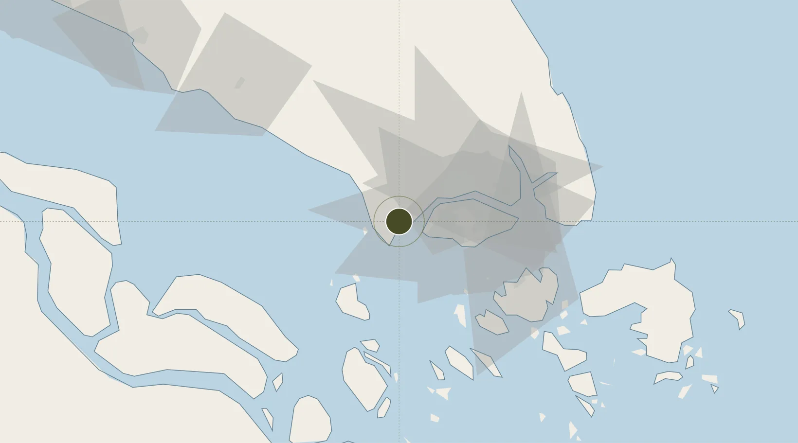
Nearby Logistics Neighbours

Ports
  1. 1Tanjung Pelepas1 km
  2. 2Jurong Island22 km
  3. 3Pulau Bukom28 km
  4. 4Pulau Sebarok33 km
  5. 5Keppel - (East Singapore)34 km
Nearest neighbours — logibook spatial index (haversine) over the source coordinates
Airports
  1. 1Tengah Air Base18 km
  2. 2Sembawang Air Base30 km
  3. 3Senai International Airport34 km
  4. 4Seletar Airport35 km
  5. 5Paya Lebar Air Base40 km
Nearest neighbours — logibook spatial index (haversine) over the source coordinates
Cities
  1. 1Tanjung Pelepas0 km
  2. 2Gelang Patah2 km
  3. 3Tanjong Bin3 km
  4. 4Kampong Tanjong Kupang4 km
  5. 5Tuas12 km
Nearest neighbours — logibook spatial index (haversine) over the source coordinates
Trade Zones
  1. 1Tanjung Bin Free Industrial Zone, Johor3 km
  2. 2Western Gate Development Flagship Zone3 km
  3. 3Nusajaya Flagship Zone9 km
  4. 4Jurong Innovation District16 km
  5. 5Jurong Port Free Trade Zone19 km
Nearest neighbours — logibook spatial index (haversine) over the source coordinates
DatabookThe Record of Consolidated Knowledge
Malaysia beyond logistics?
Browse databook

All Sources

Trade ZonesOpen Zone Map
CC BY
Portsthe NGA World Port Index
Public domain (US gov)
AirportsOurAirports
Public domain
LocationsUN/LOCODE
UN/LOCODE — free
← Malaysia trade zones