UN/LOCODE hub · Indonesia
IDTJB
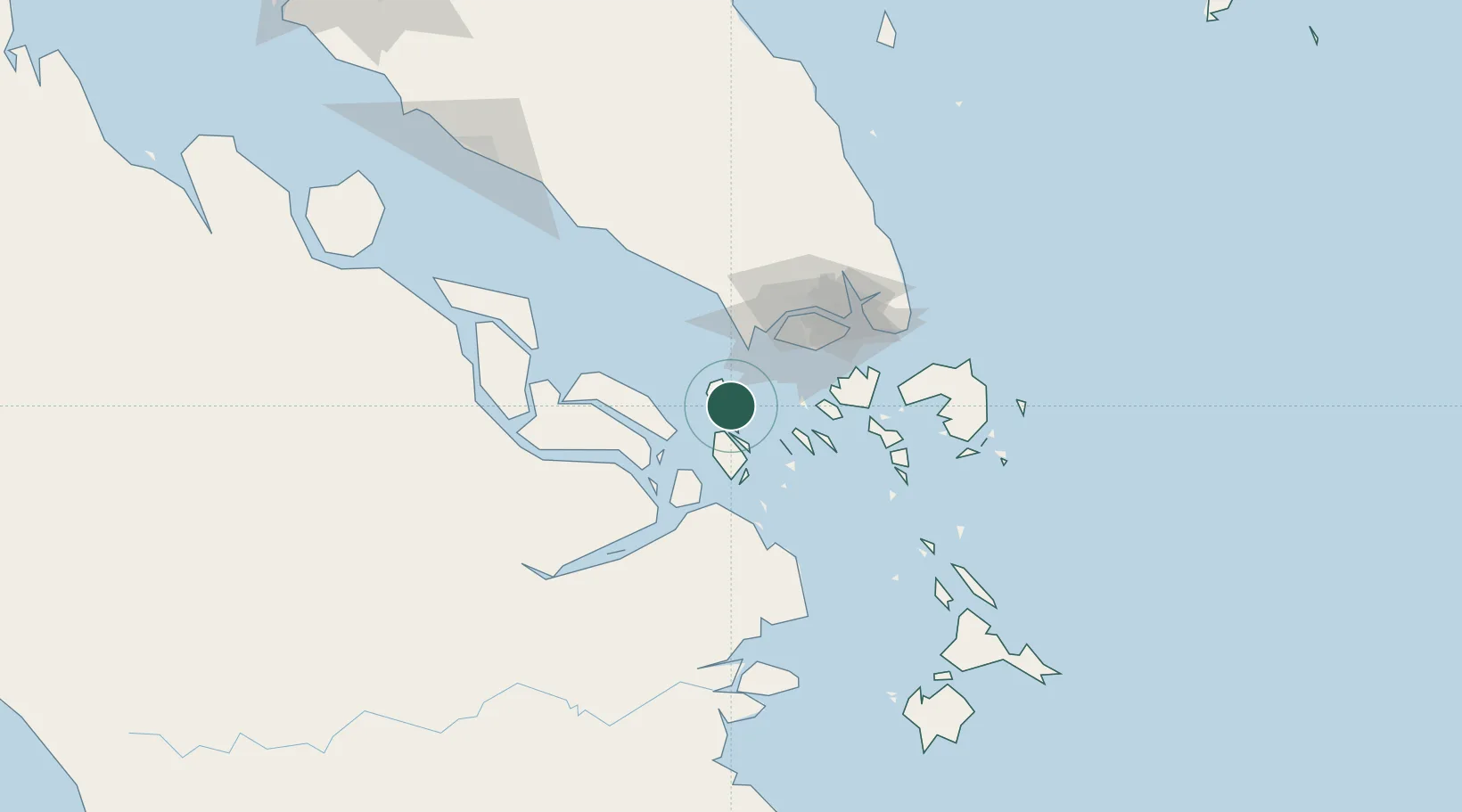
Tanjungbalai
1.0000°, 103.4333°
48,953
Population
3
Transport functions
Transport Functions
Port
Airport
Postal
Hub Profile
Place type
Populated place
Region
Riau Islands
Population
48,953
Time zone
Asia/Jakarta
Elevation
9 m
Location
Nearby Logistics Neighbours
Cities
- 1Durian15 km
- 2Nipah18 km
- 3Tanjong Bin39 km
- 4Pulau Ayer Chawan42 km
- 5Kampong Tanjong Kupang42 km
Ports
- 1Tanjung Pelepas41 km
- 2Pulau Bukom45 km
- 3Jurong Island46 km
- 4Pulau Sebarok46 km
- 5Pulau Sambu55 km
Airports
- 1Tengah Air Base53 km
- 2Sembawang Air Base63 km
- 3Paya Lebar Air Base66 km
- 4Seletar Airport67 km
- 5Singapore Changi Airport74 km
Trade Zones
DatabookThe Record of Consolidated Knowledge
Indonesia beyond logistics?