Channel & Berth Profile
Pilotage, Tugs & Services
Pilotage availableYES
Tug assistanceYES
Potable waterYES
MedicalYES
Facilities & Capabilities
Container—
Ro-Ro—
Liquid bulk—
Dry bulk—
Oil terminal—
Break bulk—
Dry dock—
Repairs—
Bunkering—
Rail link—
Dangerous cargo—
ISPS security—
Harbour Specifications
Harbour size
Very Small
Harbour type
Coastal (Natural)
Shelter
Poor
Water body
Strait of Malacca; Indian Ocean
Tidal range
3 m
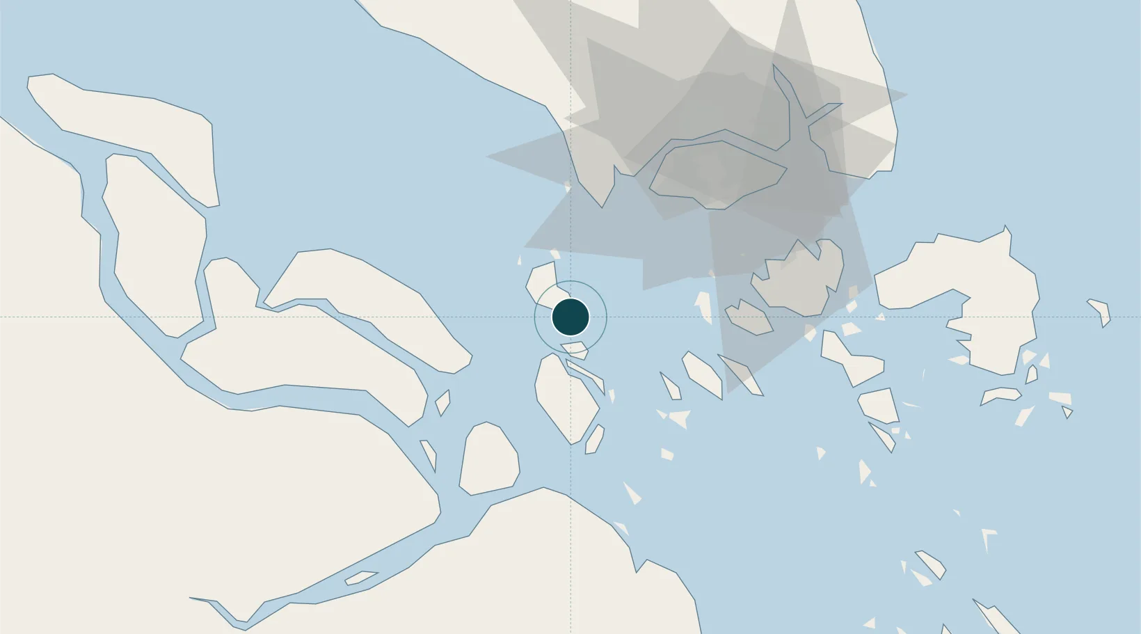
Location
Nearby Logistics Neighbours
Ports
- 1Tanjung Pelepas43 km
- 2Pulau Bukom46 km
- 3Jurong Island47 km
- 4Pulau Sebarok47 km
- 5Pulau Sambu56 km
Cities
- 1Durian15 km
- 2Nipah20 km
- 3Tanjong Bin41 km
- 4Pulau Ayer Chawan43 km
- 5Kampong Tanjong Kupang44 km
Airports
- 1Tengah Air Base54 km
- 2Sembawang Air Base65 km
- 3Paya Lebar Air Base68 km
- 4Seletar Airport68 km
- 5Singapore Changi Airport75 km
Trade Zones
DatabookThe Record of Consolidated Knowledge
Indonesia beyond logistics?