Transport Functions
Port
Road
Hub Profile
Place type
Urban district
Population
70
Time zone
Asia/Singapore
Elevation
11 m
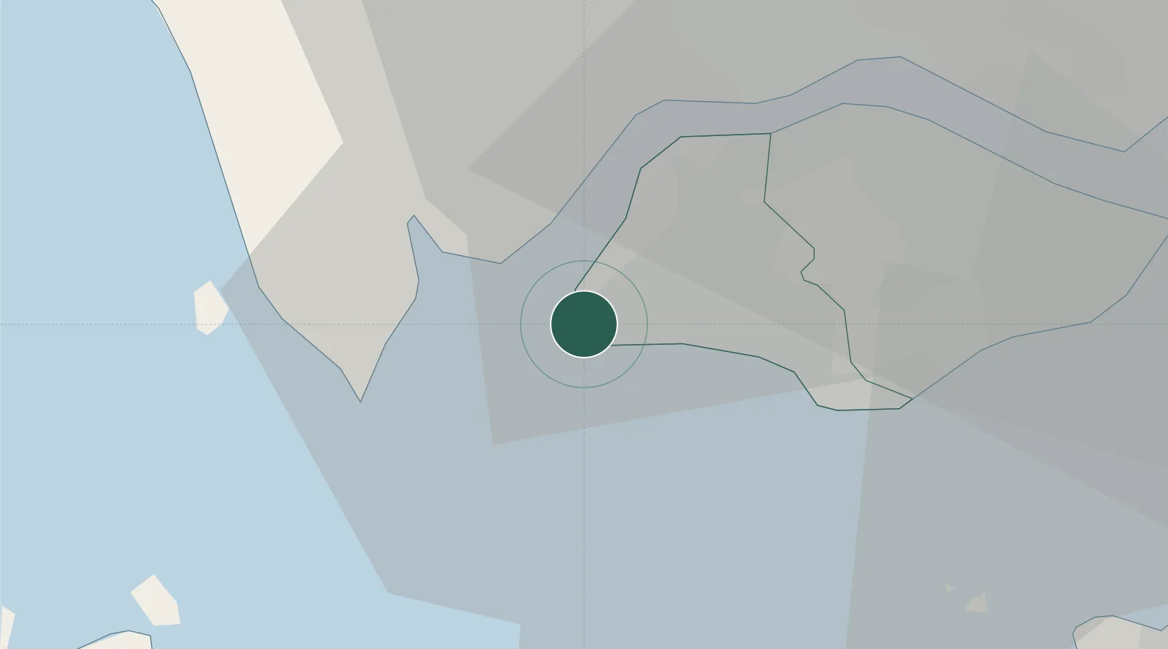
Location
Nearby Logistics Neighbours
Cities
- 1Singapore7 km
- 2Pulau Ayer Chawan8 km
- 3Kampong Tanjong Kupang8 km
- 4Jurong/Singapore9 km
- 5Tanjong Bin11 km
Ports
- 1Jurong Island10 km
- 2Tanjung Pelepas12 km
- 3Pulau Bukom16 km
- 4Pulau Sebarok21 km
- 5Keppel - (East Singapore)23 km
Airports
- 1Tengah Air Base10 km
- 2Sembawang Air Base22 km
- 3Seletar Airport27 km
- 4Paya Lebar Air Base29 km
- 5Senai International Airport36 km
Trade Zones
DatabookThe Record of Consolidated Knowledge
Singapore beyond logistics?