Medium airport · Singapore
Tengah Air BaseWSAT
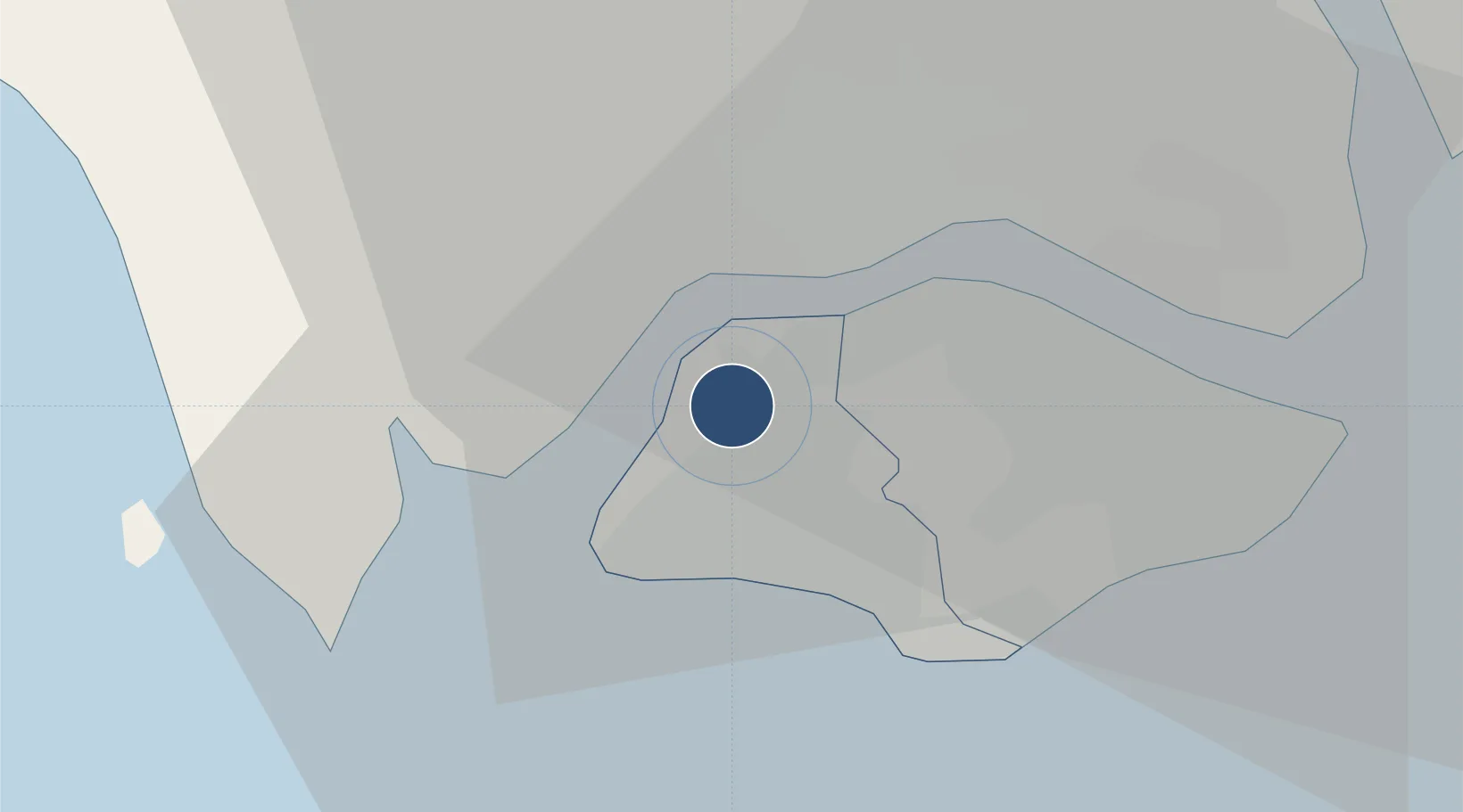
1.3876°, 103.7083°
8,999 ft
Longest runway
3
Runways
50 ft
Elevation
Runway & Layout

Radio Frequencies
TWR
122 MHz
GND
122 MHz
APP
130 MHz
A/D
120.3 MHz
SINGAPORE APP/DEP
Navaids
TNG TACAN Tengah 113.90 MHz
Runways · 3
| Runway | Dimensions | Surface | True heading | Lit |
|---|---|---|---|---|
| 18/36 | 8,999 × 148ft | Asphalt | 185° | ✓ |
| 01/19 | 2,258 × 66ft | Asphalt | 010° | — |
| 18R/36L | 1,155 × 236ft | Grass | 185° | — |
Airport Specifications
IATA code
TGA
ICAO code
WSAT
Airport class
Medium airport
Scheduled service
No
Runway surface
Asphalt
Served city
Western Water Catchment
Location
Nearby Logistics Neighbours
Airports
- 1Sembawang Air Base12 km
- 2Seletar Airport18 km
- 3Paya Lebar Air Base23 km
- 4Senai International Airport29 km
- 5Singapore Changi Airport32 km
Cities
- 1Singapore9 km
- 2Tuas10 km
- 3Tampoi11 km
- 4Jurong/Singapore13 km
- 5PASIR PANJANG Terminal13 km
Ports
- 1Jurong Island12 km
- 2Tanjung Pelepas18 km
- 3Pulau Bukom18 km
- 4Keppel - (East Singapore)20 km
- 5Johor22 km
Trade Zones
DatabookThe Record of Consolidated Knowledge
Singapore beyond logistics?