Transport Functions
Port
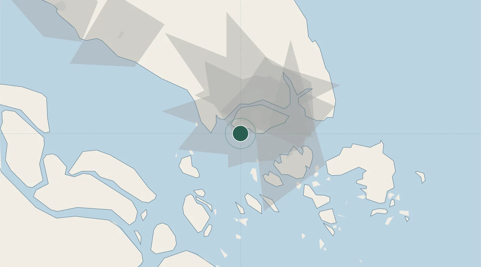
Location
Nearby Logistics Neighbours
Cities
- 1Jurong/Singapore2 km
- 2Singapore4 km
- 3PASIR PANJANG Terminal8 km
- 4Tuas8 km
- 5Pasir Panjang Wharves9 km
Ports
- 1Jurong Island4 km
- 2Pulau Bukom8 km
- 3Pulau Sebarok13 km
- 4Keppel - (East Singapore)17 km
- 5Tanjung Pelepas19 km
Airports
- 1Tengah Air Base14 km
- 2Sembawang Air Base22 km
- 3Seletar Airport25 km
- 4Paya Lebar Air Base26 km
- 5Singapore Changi Airport34 km
DatabookThe Record of Consolidated Knowledge
Singapore beyond logistics?